Make an Announcement

Communicate warnings, disperse advice, and share.


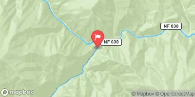
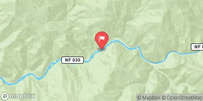
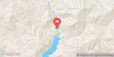
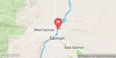
CORN CREEK TO VINEGAR CREEK/CAREY CREEK (MAIN SALMON)

Whitewater River Run


Idaho Salmon River

Corn Creek To Vinegar Creek/Carey Creek (Main Salmon)

Class III TO IV

STREAMFLOW: 11,900 CFS

Runnable
74°, Heavy Rain

The Corn Creek to Vinegar Creek/Carey Creek on the Main Salmon River in Idaho is a popular run for experienced river guides. This section of water offers exciting rapids and challenges, including the notorious Elk Horn Rapid, and is considered a Class III-IV run. The best time to float this section is during the summer months when water levels are high, typically between 4,000-15,000 cfs. River guides must navigate around obstacles such as large rocks and boulders, steep drops, and strong currents. Overall, this is a thrilling and scenic river run for those seeking a challenging adventure.

Weather today, A chance of rain before 9am, then a chance of showers and thunderstorms between 9am and noon, then showers and possibly a thunderstorm after noon. Some of the storms could produce heavy rain. High near 74. Calm wind becoming west northwest 5 to 8 mph in the afternoon. Chance of precipitation is 80%. New rainfall amounts between a quarter and half of an inch possible.

Status Runnable
Class Level III to IV
Elevation 3,017 ft
Run Length 79.0 Mi
Streamflow Discharge 11900 cfs
Gauge Height 38.9 ft
Reporting Streamgage Middle Fork Salmon River At Mouth Nr Shoup Id
USGS 13310199

Nearby Streamflow Levels

Gauge Streamflow Stage
Bitterroot River Near Darby Mt
USGS 12344000
2,330 cfs 4.1 ft
Efsf Salmon R Abv Meadow Crk Nr Stibnite
USGS 13310800
3 cfs 14.7 ft
Meadow Creek Nr Stibnite
USGS 13310850
2 cfs 3.3 ft
Sugar Creek Nr Stibnite
USGS 13311450
98 cfs 7.6 ft
West Fork Bitterroot River Nr Conner Mt
USGS 12342500
661 cfs 2.6 ft
Mf Salmon River At Mf Lodge Nr Yellow Pine Id
USGS 13309220
6,210 cfs 5.3 ft
Efsf Salmon R Abv Sugar Crk Nr Stibnite
USGS 13311250
189 cfs 11.9 ft
Salmon River Nr Shoup Id
USGS 13307000
10,400 cfs 7.2 ft
Middle Fork Salmon River At Mouth Nr Shoup Id
USGS 13310199
11,900 cfs 38.9 ft
Ef Of Sf Salmon River At Stibnite Id
USGS 13311000
159 cfs 6.0 ft
Snotel Site Snowpack 24hr Change

Log Your Visit

When was your last visit to Corn Creek to Vinegar Creek/Carey Creek (Main Salmon)?

Add a Photo

How was it? How were conditions?

Rate the paddle


Submit

Leave A Review

Corn Creek To Vinegar Creek/Carey Creek (Main Salmon)

Submit

Upload an Image

Corn Creek To Vinegar Creek/Carey Creek (Main Salmon)
Login

Need an Account?

Forgot Your Password?

Delete User Account

Welcome to Snoflo


Continue with a free account

Already Have an Account?


Snoflo Premium

Your first week's free. Cancel anytime

Have a Promo Code?


Already Have an Account?

Signup for Basic Access


Welcome to Snoflo


Continue with a free account

Add Snoflo Premium


Already Have an Account?


Please Verify Your Account

Favorite Limit Reached
Signup for a Free Account

Already Have an Account?