Summary
The ideal streamflow range for this segment of the river is between 200-500 cfs, which provides enough water to navigate the rapids without being too dangerous.
The class rating for this section of the river is Class II-III, which means that it is suitable for intermediate paddlers with some experience in whitewater. The segment is approximately 5.5 miles long, and there are several rapids and obstacles that provide exciting challenges for paddlers.
One of the most notable rapids on this section of the river is called "The Rapids", which features a series of drops and waves that require precise maneuvering. Other notable rapids include "The Ledges", "The Wave", and "The Potholes".
There are specific regulations that paddlers must follow when navigating this section of the river. Paddlers are required to wear personal flotation devices (PFDs) at all times, and alcohol is prohibited on the river. Additionally, camping is not allowed on the riverbanks, and paddlers must respect private property boundaries.
Overall, the Whitewater River Run from Highway 55 to Forest Road 2169 is a thrilling and challenging whitewater destination that requires skill and experience to navigate safely. Paddlers should always check current streamflow conditions and follow all regulations to ensure a safe and enjoyable experience.
°F
°F
mph
Wind
%
Humidity
15-Day Weather Outlook
River Run Details
| Last Updated | 2026-01-23 |
| River Levels | 11 cfs (3.01 ft) |
| Percent of Normal | 3% |
| Status | |
| Class Level | ii-iii |
| Elevation | ft |
| Streamflow Discharge | cfs |
| Gauge Height | ft |
| Reporting Streamgage | USGS 05591550 |


 Stevens Lake Campground
 Stevens Lake Recreation Area
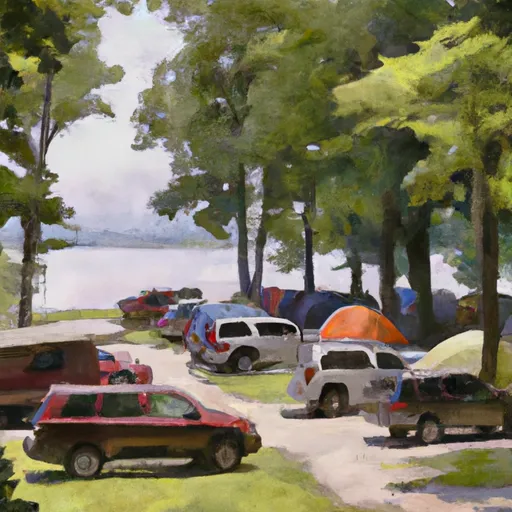 Windsor Dam Campground
 Lost Lake Cabins
 Lost Lake Recreation Area
 Chipmunk Rapids Recreation Area
 Long Lake -- Access at N End Lk off Settlement Rd
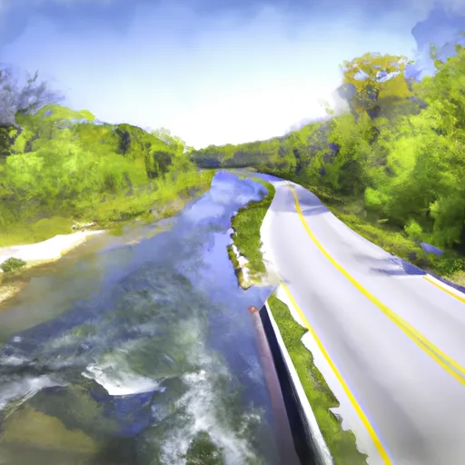 Highway 55 To Forest Road 2169
 Forest Road 2169 To Forest Road 2133
 Private Bridge To Highway 55
 Forest Road 2174 To Private Bridge
 1/4 Mile West Of Highway 55 To Confluence With Main Branch
 Highway 139 To Forest Road 2398