Summary
The ideal streamflow range for this river run is between 300 and 800 cubic feet per second (cfs). The river is classified as a Class II-III, which means it has moderate to difficult rapids with some obstacles and waves that require maneuvering.
The segment mileage for the Main Branch river run is approximately 6.5 miles, beginning at the Headwaters and ending at Forest Road 2174. Along the way, paddlers will encounter several specific river rapids and obstacles, including the Blackhawk Rapids and the Tinker's Dam Rapid. The river also has several large rocks and submerged logs that can pose a hazard, especially during periods of high water.
There are specific regulations that paddlers must follow while on the Main Branch river run. The river is part of the Whitewater River State Fish and Wildlife Area, and all Illinois fishing and boating regulations apply. Paddlers must wear a personal flotation device at all times, and alcohol is prohibited on the river. Additionally, all camping on the riverbank is prohibited.
Overall, the Main Branch of the Whitewater River in Illinois offers a challenging and exciting river run for experienced kayakers and canoeists. However, it is important to check the streamflow range and be aware of specific regulations before embarking on this adventure.
°F
°F
mph
Wind
%
Humidity
15-Day Weather Outlook
River Run Details
| Last Updated | 2026-01-23 |
| River Levels | 11 cfs (3.01 ft) |
| Percent of Normal | 3% |
| Status | |
| Class Level | ii-iii |
| Elevation | ft |
| Streamflow Discharge | cfs |
| Gauge Height | ft |
| Reporting Streamgage | USGS 05591550 |
5-Day Hourly Forecast Detail
Nearby Streamflow Levels
Area Campgrounds
Boat Launches
River Runs
-
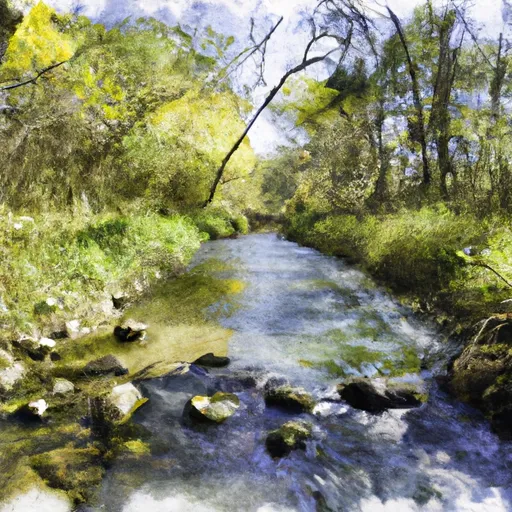 Main Branch--Headwaters To Forest Road 2174
-
 Forest Road 2174 To Private Bridge
-
 North Branch--Origin In Sec 10, T38N, R13E To 1/4 Mile West Of Highway 55
-
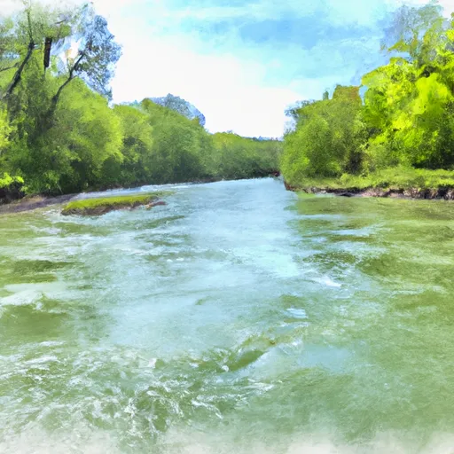 1/4 Mile West Of Highway 55 To Confluence With Main Branch
-
 Private Bridge To Highway 55
-
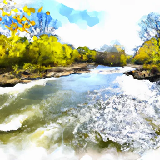 North Branch--Butternut Lake To Confluence With Main Branch


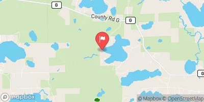


 Luna - White Deer Lake Recreation Area
 Luna White Deer Campground
 Windsor Dam Campground
 Seven Mile Lake Campground
 Franklin Lake Recreation Area
 Anvil Lake Recreation Area
 Butternut Lake -- Access at Far South - Nr 4 Duck Lake