Summary
The ideal streamflow range for this river is between 500 and 2000 cubic feet per second (cfs) depending on the skill level of the paddlers. The river is rated Class II to III+, making it suitable for intermediate to advanced paddlers.
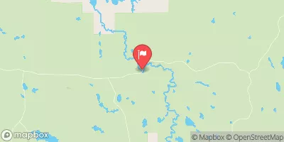
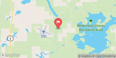
The segment mileage of the West Branch Net River is approximately 10 miles, starting from its source in Sec 35, T48N, R34W, and ending at its confluence with the mainstem Net River in Sec 24, T46N, R34W. The river features a variety of rapids, including quick drops, ledges, and narrow chutes. Some of the most challenging rapids include the Gorge, the Narrows, and Upper and Lower Ledges.
There are specific regulations that apply to the West Branch Net River. For instance, paddlers are required to wear personal flotation devices (PFDs) at all times while on the river. In addition, camping and fires are only allowed in designated areas to protect the natural environment. The river is also subject to occasional closures due to high water levels or other hazardous conditions.
In conclusion, the West Branch Net River in Illinois is a challenging and exciting whitewater river run that offers a range of rapids and obstacles for intermediate to advanced paddlers. The ideal streamflow range is between 500 and 2000 cfs, and there are specific regulations that apply to the area to protect the natural environment.
°F
°F
mph
Wind
%
Humidity
15-Day Weather Outlook
River Run Details
| Last Updated | 2026-02-07 |
| River Levels | 81 cfs (5.4 ft) |
| Percent of Normal | 1% |
| Status | |
| Class Level | ii |
| Elevation | ft |
| Streamflow Discharge | cfs |
| Gauge Height | ft |
| Reporting Streamgage | USGS 05572000 |
5-Day Hourly Forecast Detail
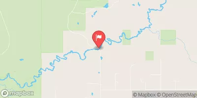
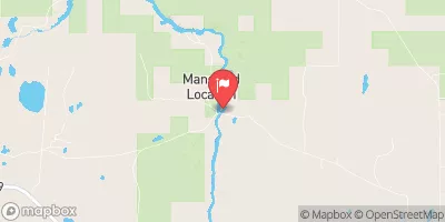
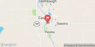
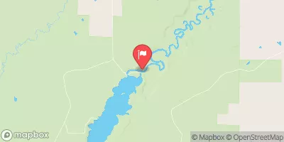
Nearby Streamflow Levels
Area Campgrounds
| Location | Reservations | Toilets |
|---|---|---|
 Perch Lake Campground
|
||
 Perch Lake
|
||
 Norway Lake
|
||
 Norway Lake Campground
|
||
 King Lake State Forest Campground
|
||
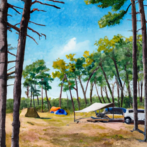 Deer Lake State Forest Campground
|
River Runs
-
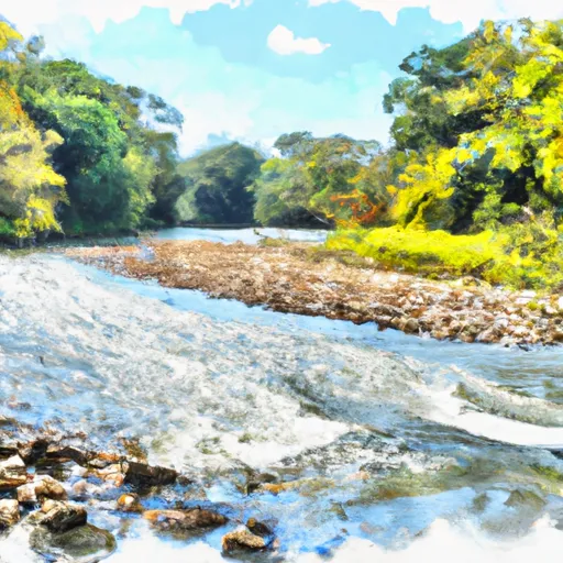 West Branch Net River, From Its Source In Sec 35, T48N, R34W To Confluence With Mainstem Net River In Sec 24, T46N, R34W
-
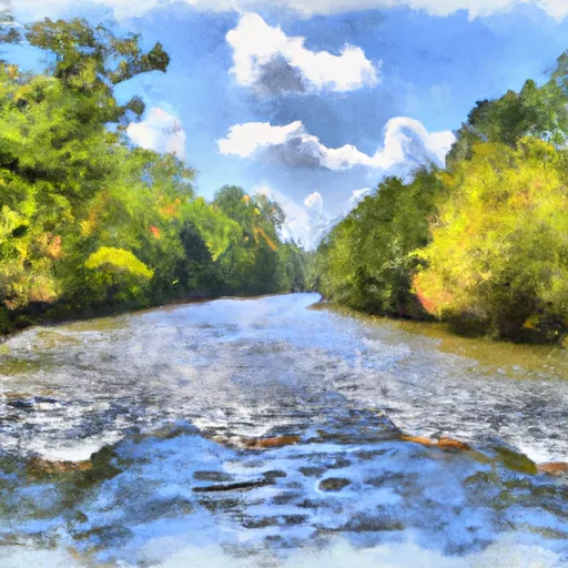 East Branch Net River, From Its Source In Sec 8, T47N, R32W To Confluence With Mainstem Net River In Sec 24, T46N, R34W
-
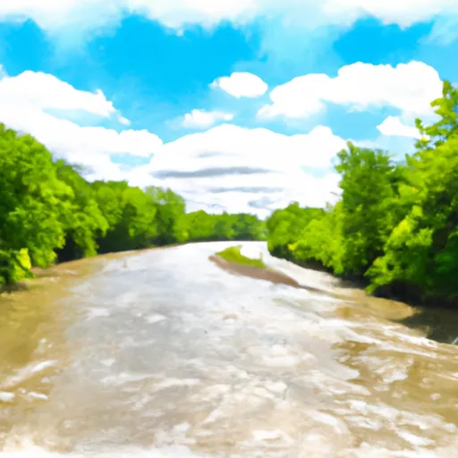 Net River Mainstem, Confluence With East/West Branches To Confluence With The Mainstem Paint River


 Net River Dam Road Covington Township