Summary
The ideal streamflow range for this section of the river is between 500-3000 cubic feet per second (cfs). This range provides enough water to create rapids and obstacles without being too dangerous.
This section of the river is rated as a Class II-III depending on water levels. The segment mileage is approximately 6 miles in length and offers a mix of calm stretches and challenging rapids. Some of the specific river rapids and obstacles include "Fuzzy Bunny," "Big Rock," and "Screaming Left Turn."
There are specific regulations in place for this area, including the use of personal flotation devices (PFDs) for all participants and a minimum age limit of 12 for kayakers. It is also recommended to check water levels and weather conditions before embarking on a trip.
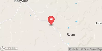
In summary, the Whitewater River Run Bridge at Eddyville Blacktop to Confluence with Ohio River at Golconda, IL offers a thrilling whitewater experience for intermediate-level paddlers. With ideal streamflow range, class rating, specific rapids and obstacles, and specific regulations, it is a must-visit destination for any whitewater enthusiast.
°F
°F
mph
Wind
%
Humidity
15-Day Weather Outlook
River Run Details
| Last Updated | 2026-02-07 |
| River Levels | 4 cfs (2.55 ft) |
| Percent of Normal | 53% |
| Status | |
| Class Level | ii-iii |
| Elevation | ft |
| Streamflow Discharge | cfs |
| Gauge Height | ft |
| Reporting Streamgage | USGS 03384450 |
5-Day Hourly Forecast Detail
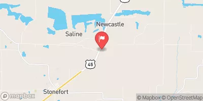
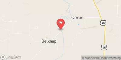
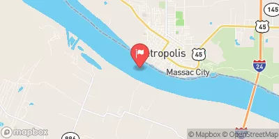
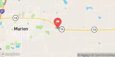
Nearby Streamflow Levels
Area Campgrounds
| Location | Reservations | Toilets |
|---|---|---|
 Bear Branch Horse Resort
|
||
 Red Bud Campground
|
||
 Teal Pond Campground
|
||
 Cedar Grove Camping Area
|
River Runs
-
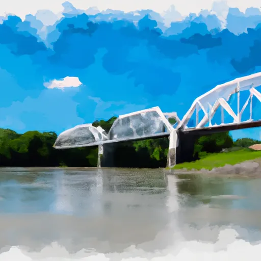 Bridge At Eddyville Blacktop To Confluence With Ohio River At Golconda,Il
-
 1 Minle Southwest Of Delwood, Il (Sec. 18, T11S, R13E) To Reesville, 1/4 Mile South Of The Confluence With Sugar Creek
-
 Source, About 2 Miles East Of Delwood, Il (Sec 10, T11S, R6E) To Bridge At Eddyville Blacktop (Se1/4,Sec.16,T12S, R6E)
-
 Wallace Cemetery Approx 2.5 Miles Nw Of Herod, Il To Confluence With Ohio River At Golconda Jobs Corp Center


 Nature Preserve Lusk Creek Canyon
 Wilderness Bay Creek
 Wilderness Burden Falls
 Dixon Springs State Park
 Wilderness Garden of the Gods