Junction Of North/South Forks Of Lost River To State Road 337 Bridge, Approx 4 Miles Southeast Of Orleans, In Paddle Report
Last Updated: 2026-01-27
Get the latest Paddle Report, Streamflow Levels, and Weather Forecast for Junction Of North/South Forks Of Lost River To State Road 337 Bridge, Approx 4 Miles Southeast Of Orleans, In in Indiana. Indiana Streamflow Levels and Weather Forecast
Summary
°F
°F
mph
Wind
%
Humidity
15-Day Weather Outlook
River Run Details
| Last Updated | 2026-01-27 |
| River Levels | 1100 cfs (4.51 ft) |
| Percent of Normal | 25% |
| Status | |
| Class Level | None |
| Elevation | ft |
| Streamflow Discharge | cfs |
| Gauge Height | ft |
| Reporting Streamgage | USGS 03371500 |
5-Day Hourly Forecast Detail
Nearby Streamflow Levels
 East Fork White River Near Bedford
|
6670cfs |
 West Fork Blue River At Salem
|
11cfs |
 Blue River At Fredericksburg
|
201cfs |
 East Fork White River At Shoals
|
9810cfs |
 Blue River Near White Cloud
|
531cfs |
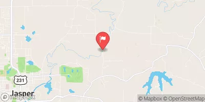 Patoka River At Jasper
|
191cfs |


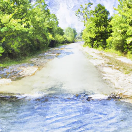 Junction Of North/South Forks Of Lost River To State Road 337 Bridge, Approx 4 Miles Southeast Of Orleans, In