Winter Weather Advisory
2026-02-19T12:00:00-06:00
2026-02-19T12:00:00-06:00
* WHAT...Mixed precipitation. Additional snow accumulations up to 3 inches and ice accumulations around a light glaze. Winds gusting as high as 40 mph. * WHERE...Carlton and South St. Louis, Cook and Lake Counties. This includes the Tribal Lands of the Fond du Lac Band and the Grand Portage Reservation. This also includes the Boundary Waters eastern and central area. * WHEN...Until noon CST Thursday. * IMPACTS...Plan on slippery road conditions. The hazardous conditions could impact the Thursday morning commute.
Summary
°F
°F
mph
Wind
%
Humidity
15-Day Weather Outlook
River Run Details
| Last Updated | 2025-12-03 |
| River Levels | 779 cfs (6.05 ft) |
| Percent of Normal | 36% |
| Status | |
| Class Level | i-ii |
| Elevation | ft |
| Streamflow Discharge | cfs |
| Gauge Height | ft |
| Reporting Streamgage | USGS 05422000 |
5-Day Hourly Forecast Detail
Nearby Streamflow Levels
Area Campgrounds
| Location | Reservations | Toilets |
|---|---|---|
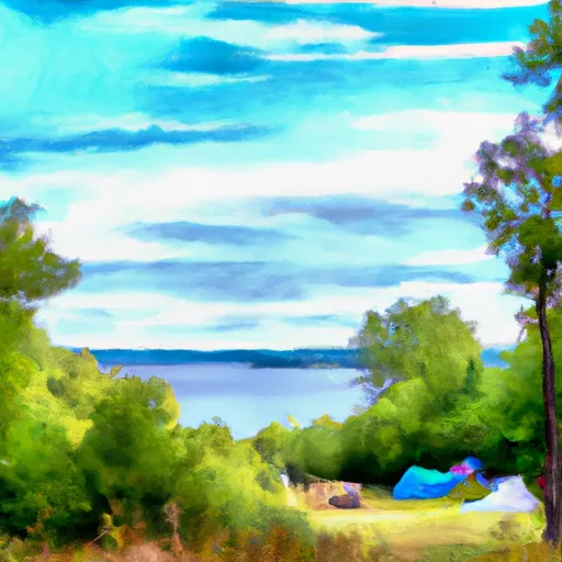 East Bearskin Lake
|
||
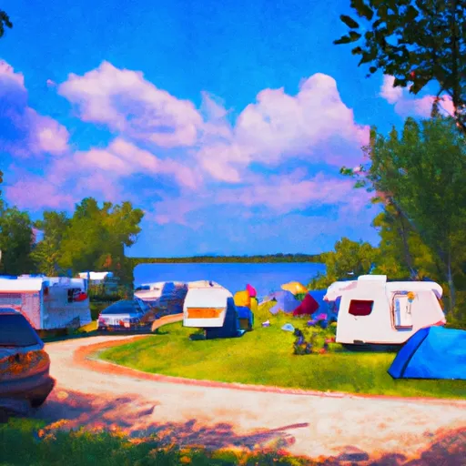 East Bearskin Lake Campground
|
||
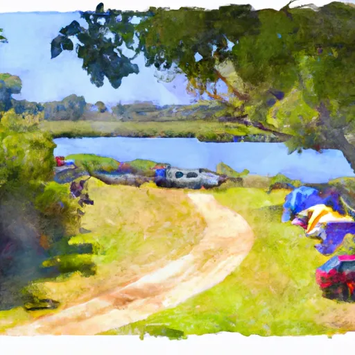 Flour Lake Campground
|
||
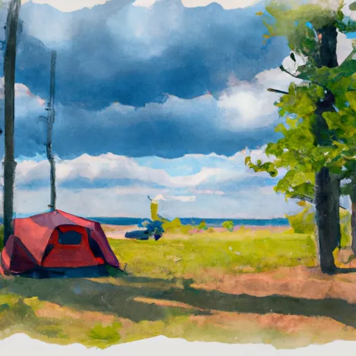 Flour Lake
|
||
 Caribou Rock camp site
|
||
 Moss Lake
|


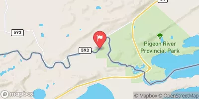
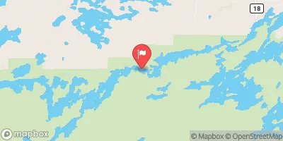
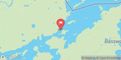
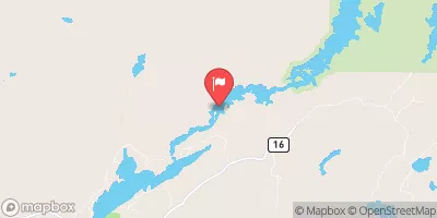
 Trestle Pine Road Cook County
 Horshoe Lake In T64N, R1W To Bwcaw Boundary