Summary
The ideal streamflow range for this river is between 200-600 cfs. The river is rated as a Class II-III run, with a segment mileage of approximately 18 miles. Specific rapids and obstacles include "Little Falls" and "Big Falls", both of which are Class III rapids. The river also features several rock gardens and sweepers, which can pose significant challenges for paddlers.
There are a number of regulations in place for the Whitewater River run. Paddlers are required to wear personal floatation devices at all times, and are prohibited from littering or disturbing wildlife along the river. Additionally, camping and fires are only allowed in designated areas, and paddlers must obtain a permit from the National Park Service before embarking on the river.
Overall, the Whitewater River run is a challenging and rewarding experience for experienced paddlers. However, it is important to follow all regulations and safety guidelines to ensure a safe and enjoyable trip.
°F
°F
mph
Wind
%
Humidity
15-Day Weather Outlook
River Run Details
| Last Updated | 2026-02-07 |
| River Levels | 156 cfs (5.94 ft) |
| Percent of Normal | 37% |
| Status | |
| Class Level | ii-iii |
| Elevation | ft |
| Run Length | 4.0 Mi |
| Streamflow Discharge | cfs |
| Gauge Height | ft |
| Reporting Streamgage | USGS 05389000 |
5-Day Hourly Forecast Detail
Nearby Streamflow Levels
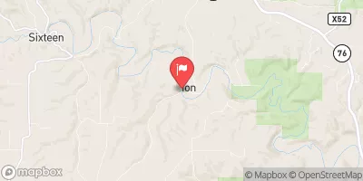 Yellow River At Ion
|
62cfs |
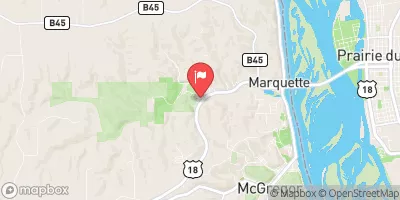 Bloody Run Creek Near Marquette
|
14cfs |
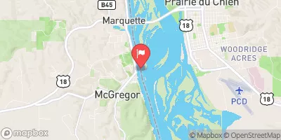 Mississippi River At Mcgregor
|
21700cfs |
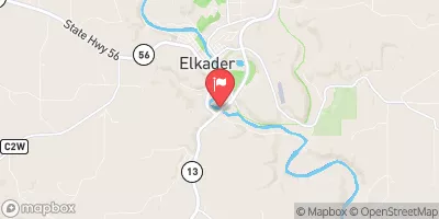 Turkey River Above French Hollow Cr At Elkader
|
397cfs |
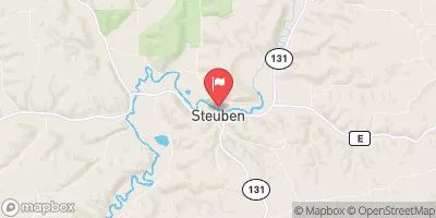 Kickapoo River At Steuben
|
437cfs |
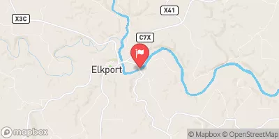 Turkey River At Garber
|
388cfs |
Area Campgrounds
| Location | Reservations | Toilets |
|---|---|---|
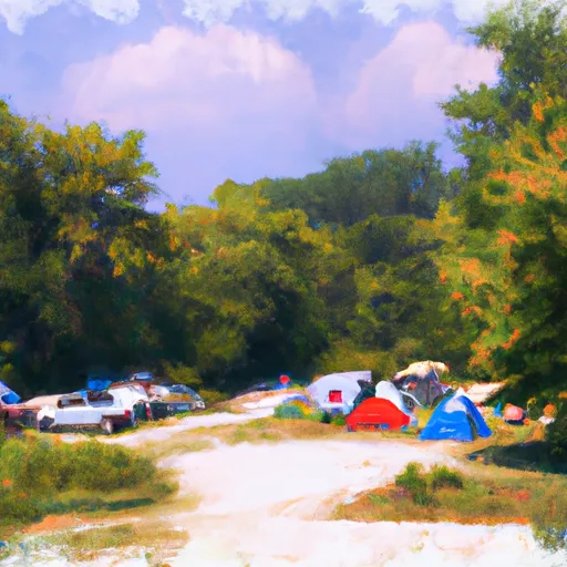 Bloody Run Campground
|
||
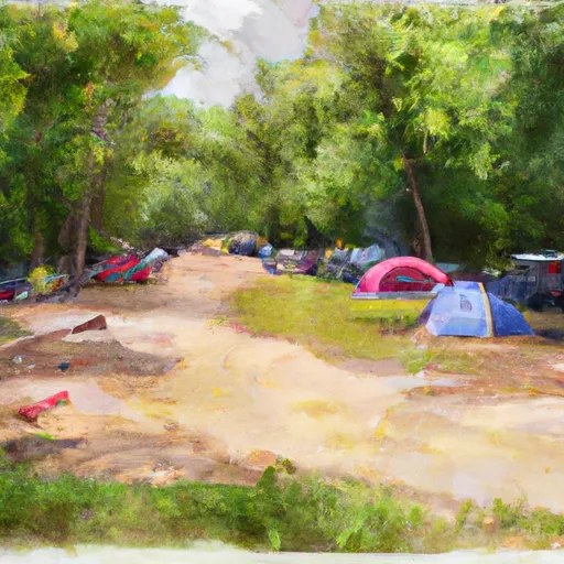 Bloody Run Park
|
||
 Brown's Hollow Camp
|
||
 Camp John Schultz
|
||
 Camp Glen Wendel
|
||
 Heffern's Hill Camp
|


 Old Mission Drive 1815, Allamakee County
 Western Boundary Of Effigy Mounds National Monument To Boundary Of Effigy Mounds National Monument
 Bloody Run County Park
 Pikes Peak State Park
 Wyalusing River State Park
 Farmersburg City Park