Summary
The ideal streamflow range for this section of the river is between 150-500 cfs, which can be checked on the USGS website. This stretch is rated Class II-III and covers a distance of approximately 7 miles.
There are several specific rapids and obstacles along this section of the river, including "The Ledges," "Tipperary," and "The Narrows." "The Ledges" is a series of drops and ledges that require careful maneuvering, while "Tipperary" is a steep drop that can be tricky to navigate. "The Narrows" is a narrow section of the river that requires precise maneuvering.
There are specific regulations to follow while rafting or kayaking on the Whitewater River. All individuals must wear a personal flotation device (PFD) and helmets are strongly recommended. Additionally, all equipment must be in good condition and appropriate for the river conditions. It is also important to respect private property and avoid disturbing wildlife in the area.
Overall, the Whitewater River run from the Town of Bluffton to the "Lower" Dam near the confluence of Coon Creek in Iowa offers a thrilling adventure for experienced whitewater enthusiasts. It is important to check the streamflow levels and follow all regulations to ensure a safe and enjoyable experience.
°F
°F
mph
Wind
%
Humidity
15-Day Weather Outlook
River Run Details
| Last Updated | 2025-12-08 |
| River Levels | 264 cfs (3.49 ft) |
| Percent of Normal | 159% |
| Status | |
| Class Level | ii-iii |
| Elevation | ft |
| Run Length | 35.0 Mi |
| Streamflow Discharge | cfs |
| Gauge Height | ft |
| Reporting Streamgage | USGS 05387440 |
5-Day Hourly Forecast Detail
Nearby Streamflow Levels
 Upper Iowa River At Bluffton
|
421cfs |
 Upper Iowa River At Decorah
|
257cfs |
 Turkey River At Spillville
|
28cfs |
 Upper Iowa River Near Dorchester
|
885cfs |
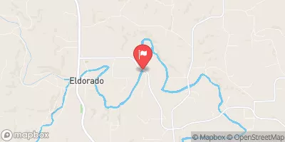 Turkey River Near Eldorado
|
206cfs |
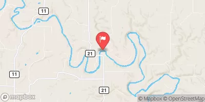 Root River Near Pilot Mound
|
303cfs |


 Canoe landing
 Kendallville Park Campground
 Pulpit Rock Campground
 Howard County Fairgrounds Campground
 North Park Campground
 Turkey River Campground
 The Town Of Bluffton To The "Lower" Dam, Near The Confluence Of Coon Creek
 The Minnesota-Iowa State Border To Ends Near The Town Of Bluffton, Iowa
 Minnesota Memorial Hardwood State Forest
 Chattahoochie County Park
 Dunnings Spring Park
 Will Baker Park
 Carl Selland Park