Summary
The ideal streamflow range for this section of the river is between 400-1,000 cubic feet per second (cfs), which ensures a good balance of rapids and navigable water. The class rating for this section of the river is Class III-IV, which indicates a moderate to difficult level of difficulty.
The segment mileage for the Whitewater River Run is approximately 7 miles. The river is known for its technical rapids and various obstacles, including "The Notch," "The Funnel," and "The Slide." These rapids require expert level skills to navigate safely. The river also features numerous eddies and pools for rest and recovery.
There are specific regulations that must be followed when rafting or kayaking the Whitewater River Run. A permit is required, and all boaters must wear a personal flotation device (PFD). The use of alcohol or drugs is strictly prohibited while on the river. Additionally, all boaters must pack out any trash or waste to help preserve the natural beauty of the area.
In summary, the Whitewater River Run Kentucky Road 679 to Confluence of Cumberland River is a challenging and exciting destination for experienced kayakers and rafters. With an ideal streamflow range, a class rating of III-IV, and unique rapids and obstacles, the river offers a thrilling adventure for those seeking an adrenaline rush. However, it is important to follow the specific regulations in place to ensure safety and preserve the natural beauty of the area.
°F
°F
mph
Wind
%
Humidity
15-Day Weather Outlook
River Run Details
| Last Updated | 2026-02-07 |
| River Levels | 608 cfs (1.82 ft) |
| Percent of Normal | 42% |
| Status | |
| Class Level | iii-iv |
| Elevation | ft |
| Streamflow Discharge | cfs |
| Gauge Height | ft |
| Reporting Streamgage | USGS 03404500 |
5-Day Hourly Forecast Detail
Nearby Streamflow Levels
 Cumberland River At Cumberland Falls
|
2580cfs |
 Cumberland River At Williamsburg
|
1970cfs |
 South Fork Cumberland River Near Stearns
|
195cfs |
 Clear Fork At Saxton
|
287cfs |
 Lynn Camp Creek At Corbin
|
84cfs |
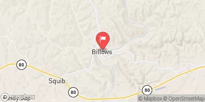 Rockcastle River At Billows
|
456cfs |
Area Campgrounds
| Location | Reservations | Toilets |
|---|---|---|
 Sandhill RV Camp
|
||
 Cumberland Falls State Park
|
||
 Alum Ford
|
||
 Alum Ford - Big South Fork Area
|
||
 Blue Heron - Big South Fork Area
|
||
 Rockcastle
|


 Kentucky Road 679 To Confluence Of Cumberland River
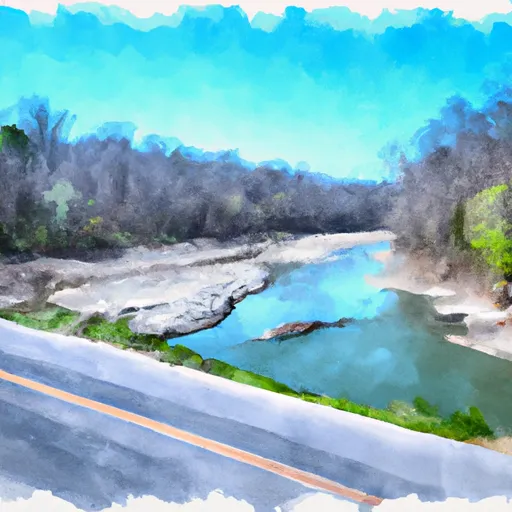 Kentucky Road 478 To Kentucky Road 679
 4 Miles Downstream From The Kentucky Highway 90 Bridge To Confluence With Cane Creek