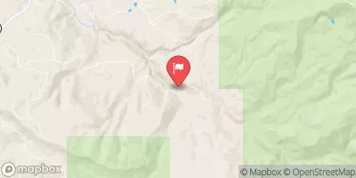
Lower Eagle (Edwards Water Plant To Eagle) Paddle Report
Last Updated: 2023-06-13
The lower Eagle Edwards Water Plant to Eagle River run in Colorado is a class II-III section of the river that is best floated during the late spring and early summer months when water levels are between 1,000-2,000 cfs.
Summary
The run features several small rapids and obstacles, including the "Pinball" and "Boneyard" sections, which require some maneuvering skills. Overall, this stretch of the Eagle River is ideal for intermediate paddlers seeking a fun and challenging run.
°F
°F
mph
Wind
%
Humidity
15-Day Weather Outlook
River Run Details
| Last Updated | 2023-06-13 |
| River Levels | 250 cfs (3.67 ft) |
| Percent of Normal | 79% |
| Optimal Range | 750-5500 cfs |
| Status | Too Low |
| Class Level | III- to III+ |
| Elevation | 7,398 ft |
| Run Length | 17.0 Mi |
| Gradient | 36 FPM |
| Streamflow Discharge | 55.9 cfs |
| Gauge Height | 2.5 ft |
| Reporting Streamgage | USGS 09067020 |
5-Day Hourly Forecast Detail
Nearby Streamflow Levels
Area Campgrounds
| Location | Reservations | Toilets |
|---|---|---|
 Wolcott
|
||
 Wolcott Campsite
|
||
 Milk Creek Camp
|
||
 Piney Guard Station
|
||
 Blue Lake Area Camp
|
||
 Yeoman Park Campground
|


 Lower Eagle (Edwards Water Plant to Eagle)
 Avon Whitewater Park
 Riverbend to Edwards (Upper Eagle)
 Dowd Chute
 Stephens Park
 Ellefson Park
 Buffehr Park
 Donovan Park
 Red Sandstone Park