2026-02-19T05:00:00-07:00
* WHAT...Heavy snow. Total snow accumulations between 10 and 20 inches with locally higher amounts possible. Winds gusting as high as 60 mph. * WHERE...Flat Tops and Gore and Elk Mountains/Central Mountain Valleys. * WHEN...Until 5 AM MST Thursday. * IMPACTS...Travel could be very difficult to impossible. Blowing snow may result in near zero visibility at times. The hazardous conditions could impact the Tuesday morning and evening commutes. Strong winds could cause tree damage.
Summary
The river features steep drops, technical rapids, and numerous obstacles, including rocks and boulders. The best time to float this section of water is in the late spring or early summer, when the water levels are highest and the rapids are at their most challenging. The recommended flow rate for this section is between 1,200-2,000 cfs. Overall, the Dowd Chute is a thrilling and exciting river run, best suited for experienced rafters looking for a challenge.
°F
°F
mph
Wind
%
Humidity
15-Day Weather Outlook
River Run Details
| Last Updated | 2023-06-13 |
| River Levels | 150 cfs (3.61 ft) |
| Percent of Normal | 69% |
| Optimal Range | 300-6000 cfs |
| Status | Too Low |
| Class Level | III+ to IV+ |
| Elevation | 8,095 ft |
| Run Length | 1.0 Mi |
| Streamflow Discharge | 44.3 cfs |
| Gauge Height | 2.8 ft |
| Reporting Streamgage | USGS 09064600 |
5-Day Hourly Forecast Detail
Nearby Streamflow Levels
 Gore Creek At Mouth
|
68cfs |
 Cross Creek Near Minturn
|
20cfs |
 Gore Creek Abv Red Sandstone Creek At Vail
|
15cfs |
 Middle Creek Near Minturn
|
0cfs |
 Eagle River Near Minturn
|
44cfs |
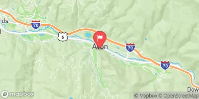 Beaver Creek At Avon
|
2cfs |
Area Campgrounds
| Location | Reservations | Toilets |
|---|---|---|
 Tigiwon Community House
|
||
 Tigiwon
|
||
 Halfmoon
|
||
 Half Moon Campground
|
||
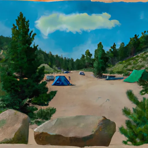 Hornsilver Campground
|
||
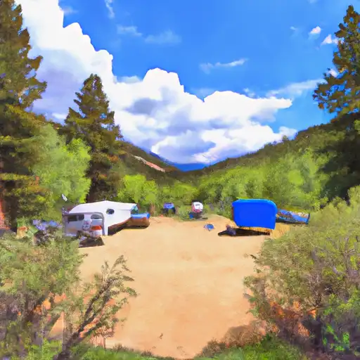 Gore Creek
|


 Dowd Chute
 Riverbend to Edwards (Upper Eagle)
 Avon Whitewater Park
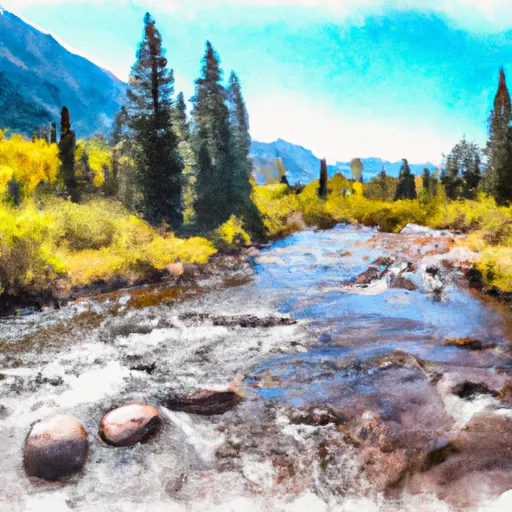 Headwaters To Holy Cross Wilderness Boundary
 Upper Gore Creek
 Ellefson Park
 Buffehr Park
 Donovan Park
 Red Sandstone Park
 Pirate Ship Playground