Summary
The best time to float this section of water is in the spring or early summer, when the water levels are higher and the rapids are more challenging. The recommended flow rate is between 1,000 – 5,000 cfs, with peak flows typically occurring in May and early June. Obstacles to be aware of include submerged rocks and sandbars, tight turns, and occasional strong winds. Experienced paddlers will enjoy this adventure, while beginners may want to consider hiring a guide or taking a guided tour.
°F
°F
mph
Wind
%
Humidity
15-Day Weather Outlook
River Run Details
| Last Updated | 2023-06-13 |
| River Levels | 530 cfs (5.5 ft) |
| Percent of Normal | 187% |
| Optimal Range | 500-8000 cfs |
| Status | Runnable |
| Class Level | II to III |
| Elevation | 4,067 ft |
| Run Length | 57.0 Mi |
| Gradient | 8 FPM |
| Streamflow Discharge | 587 cfs |
| Gauge Height | 5.7 ft |
| Reporting Streamgage | USGS 09379500 |


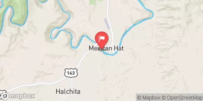
 Mexican Hat to Clay Hills
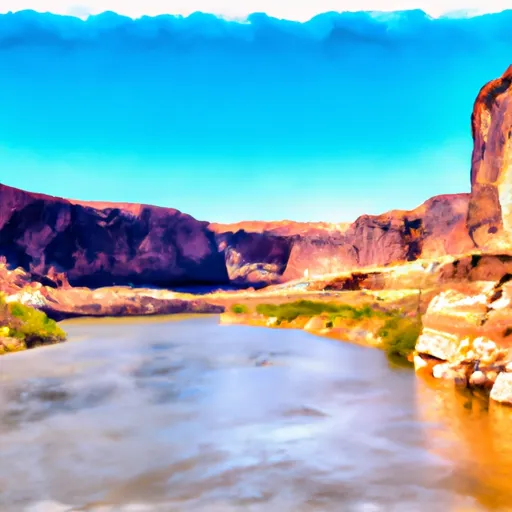 Boundary Of Glen Canyon National Recreation Area To Confluence With San Juan River