Summary
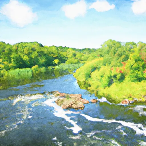
The run begins at The Beaver Islands in St. Cloud and stretches all the way to the confluence of the Clearwater River.
The ideal streamflow range for this run is between 250-500 cfs, according to the American Whitewater Association. The river has a class rating of II-III, which means that it is moderately difficult and requires some technical skills.
The segment mileage for the Whitewater River Run is approximately 19 miles, with several rapids and obstacles along the way. Some of the notable rapids include the "Chimney Rock" and "Cruncher" rapids, both of which are Class III.
It is important to note that there are specific regulations in place for this area. For example, the use of motorized boats is prohibited, and all paddlers must wear a personal flotation device (PFD) at all times.
Overall, the Whitewater River Run is a challenging and exhilarating experience for paddlers of all skill levels. It is important to be aware of the specific regulations in place and to check the current streamflow range before embarking on this adventure.
°F
°F
mph
Wind
%
Humidity
15-Day Weather Outlook
River Run Details
| Last Updated | 2026-02-07 |
| River Levels | 3970 cfs (4.78 ft) |
| Percent of Normal | 85% |
| Status | |
| Class Level | iii |
| Elevation | ft |
| Run Length | 12.0 Mi |
| Streamflow Discharge | cfs |
| Gauge Height | ft |
| Reporting Streamgage | USGS 05270700 |
5-Day Hourly Forecast Detail
Nearby Streamflow Levels
 Mississippi River At St. Cloud
|
3130cfs |
 Sauk River Near St. Cloud
|
225cfs |
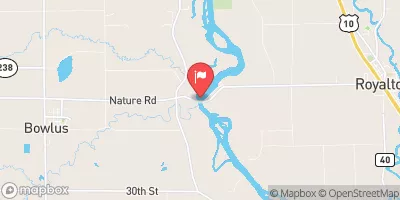 Mississippi River Near Royalton
|
6040cfs |
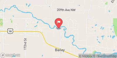 Elk River Near Big Lake
|
274cfs |
 Crow River At Rockford
|
386cfs |
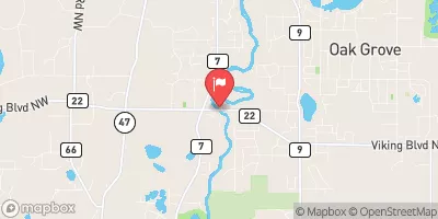 Rum River Near St. Francis
|
209cfs |
Area Campgrounds
| Location | Reservations | Toilets |
|---|---|---|
 St. Cloud Clearwater RV Park
|
||
 Warner Lake CP--East Bicycle Camp
|
||
 Rockville CP - Canoe Camp
|
||
 Campsite- Bicycle
|


 St. Cloud
 The Beaver Islands At St. Cloud
To The Confluence Of The Clearwater River
 The Confluence Of The Clearwater River
To The Northwestern Corporate Boundary Of Anoka
 Head Start Park
 Carlin Park
 Hester Park
 Pantown Park
 Alice Whitney Memorial Park