Summary
The ideal streamflow range is between 500 and 1000 cubic feet per second (cfs), which is considered to be moderate to high flow. The class rating of this section of the river is Class II-III, which means it has moderate to difficult rapids with waves up to four feet and narrow passages that require precise maneuvering.
The segment mileage of the Whitewater River Run from Forest Road 162 Crossing to Bridge on Blaisdell Lake is approximately 4.5 miles. The river features several rapids and obstacles, including the Rollercoaster, which has several large waves and drops, and the Rock Garden, which has many boulders that require careful navigation. Other notable rapids include S-turns and the Wall, which features a steep drop and a large hole at the bottom.
There are specific regulations for this area that visitors must follow. For example, all visitors must wear personal flotation devices (PFDs) at all times while on the river. Additionally, visitors are not allowed to litter, damage or remove any natural resources, or disturb wildlife. It is also recommended that visitors check the streamflow levels before heading out and that they bring appropriate safety gear, such as helmets and river shoes.
In conclusion, the Whitewater River Run in Mississippi is an exciting whitewater destination that offers a challenging and fun experience. With its ideal streamflow range, class rating, segment mileage, and specific rapids and obstacles, visitors can enjoy a thrilling adventure. However, it is important to follow the specific regulations of the area and take necessary safety precautions to ensure a safe and enjoyable trip.
°F
°F
mph
Wind
%
Humidity
15-Day Weather Outlook
River Run Details
| Last Updated | 2026-02-07 |
| River Levels | 1400 cfs (13.95 ft) |
| Percent of Normal | 183% |
| Status | |
| Class Level | ii-iii |
| Elevation | ft |
| Streamflow Discharge | cfs |
| Gauge Height | ft |
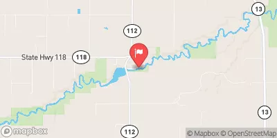
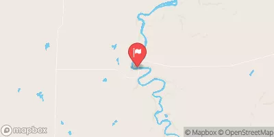
| Reporting Streamgage | USGS 07288650 |
5-Day Hourly Forecast Detail
Nearby Streamflow Levels
 Chippewa River At Bishops Bridge Near Winter
|
176cfs |
 Bad River Near Mellen
|
101cfs |
 Namekagon River At Leonards
|
94cfs |
 Chippewa River Near Bruce
|
668cfs |
 White River Near Ashland
|
215cfs |
 Bad River Near Odanah
|
304cfs |


 Black Lake Recreation Area
 Black Lake
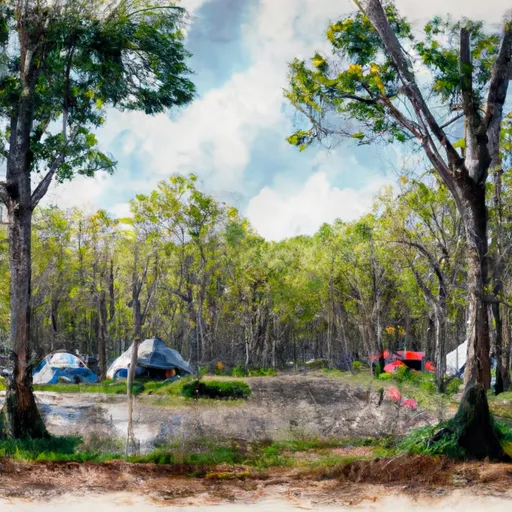
 Black Lake Recreation Area Campground
 Moose Lake Recreation Area
 Moose Lake Recreation Area Campground
 Stock Farm Bridge
 Blaisdell Lake Road Town of Draper
 Forest Road 162 Crossing To Bridge On Blaisdell Lake
 East Forest Boundary To Forest Road 162 Crossing