Summary
The ideal streamflow range for this section is between 250 and 500 cubic feet per second (cfs) and the Class rating is III-IV. This segment spans around 6.5 miles, starting near the confluence of Coon Creek to Lane's Bridge.
There are several challenging rapids and obstacles on this section of the river that are popular among experienced paddlers, such as the "Z-dam," "Whispering Falls," and "Double Drop." The river also features large boulders, steep drops, and narrow chutes that require skill and precision to navigate safely.
Regulations in this area require all paddlers to wear a personal flotation device (PFD) at all times, and minors must be accompanied by a responsible adult. Camping is only permitted in designated areas, and fires must be contained within a fire ring or grill. Paddlers should also be aware of potential hazards, such as fallen trees and submerged obstacles, and take necessary precautions to avoid accidents.
Overall, the Lower Dam section of the Whitewater River provides a thrilling and challenging adventure for experienced paddlers, with beautiful scenery and exciting rapids to navigate. However, it is important to follow regulations and safety guidelines to ensure a safe and enjoyable trip.
°F
°F
mph
Wind
%
Humidity
15-Day Weather Outlook
River Run Details
| Last Updated | 2026-02-07 |
| River Levels | 73 cfs (0.84 ft) |
| Percent of Normal | 28% |
| Status | |
| Class Level | None |
| Elevation | ft |
| Run Length | 32.0 Mi |
| Streamflow Discharge | cfs |
| Gauge Height | ft |
| Reporting Streamgage | USGS 07065200 |
5-Day Hourly Forecast Detail
Nearby Streamflow Levels
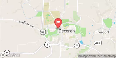 Upper Iowa River At Decorah
|
257cfs |
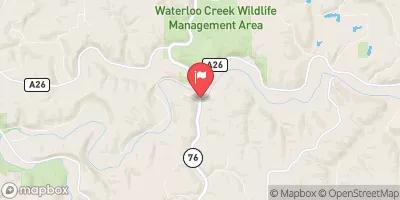 Upper Iowa River Near Dorchester
|
885cfs |
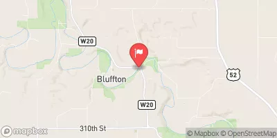 Upper Iowa River At Bluffton
|
421cfs |
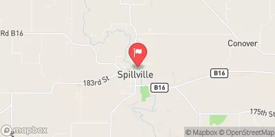 Turkey River At Spillville
|
28cfs |
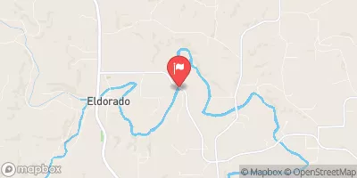 Turkey River Near Eldorado
|
206cfs |
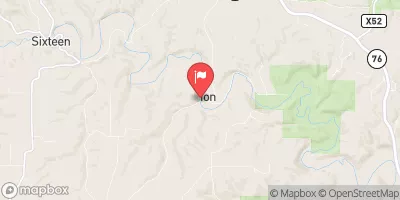 Yellow River At Ion
|
63cfs |
Area Campgrounds
| Location | Reservations | Toilets |
|---|---|---|
 Sampson Springs Campground
|
||
 Highland General Store & Campground
|
||
 Pulpit Rock Campground
|
||
 Waukon City Park Campground
|


 The "Lower" Dam, Near The Confluence Of Coon Creek To Lane'S Bridge
 Merlin Moe Park
 Barnhart-Van Peenen Park
 Dunnings Spring Park
 Campsite Park
 Carl Selland Park