Summary
The ideal streamflow range for this section is between 50-200 cubic feet per second (cfs), although experienced paddlers may enjoy higher flows.
This section of the river is rated as Class II-III, with rapids consisting of boulder gardens, ledges, and wave trains. The segment mileage from County Highway O to Ozark Spring is approximately 6 miles.
There are several specific rapids and obstacles on this section of the river, including "Jaws," a Class III rapid with a large boulder in the middle, and "Chicken Chute," a Class II-III rapid with multiple channels to choose from. There are also several strainers (downed trees) and sweepers (overhanging branches) to be aware of.
In terms of regulations, all paddlers are required to wear a personal flotation device (PFD) and carry a whistle. Camping is not allowed along this section of the river without a permit, and all trash must be packed out. Additionally, there are several private landowners along the river, and paddlers should respect their property rights.
°F
°F
mph
Wind
%
Humidity
15-Day Weather Outlook
River Run Details
| Last Updated | 2026-02-07 |
| River Levels | 332 cfs (1.53 ft) |
| Percent of Normal | 14% |
| Status | |
| Class Level | ii-iii |
| Elevation | ft |
| Streamflow Discharge | cfs |
| Gauge Height | ft |
| Reporting Streamgage | USGS 06928000 |


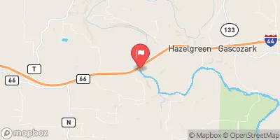
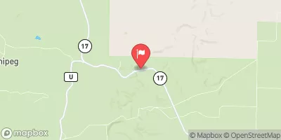
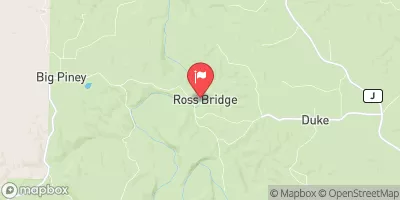
 County Highway O, Laclede, County, Missouri To Ozark Spring