Summary
The Whitewater River run from Hebron Access Site to Southern Forest Boundary in Sec 33, T24N, R11W in Missouri is a popular spot for experienced kayakers and rafters. The ideal streamflow range for this section is between 300 and 1200 cfs, with peak season being from March to May. This is a Class II-III river run and covers approximately 7 miles. There are several rapids and obstacles throughout the run, including the Chute, Fry Pan, and the Narrows. Kayakers and rafters can expect to navigate through rocky areas, waves, and several drops.
As for specific regulations in the area, kayakers and rafters are required to wear a properly fitted life jacket at all times. Alcohol is prohibited on the river, and all trash should be properly disposed of to preserve the natural environment. It is also recommended that kayakers and rafters have a float plan and notify someone of their intended route and expected return time. The Missouri Department of Conservation, the Missouri State Water Patrol, and the US Forest Service may also have additional regulations specific to this area, and it is recommended to check with them before embarking on a river run.
°F
°F
mph
Wind
%
Humidity
15-Day Weather Outlook
River Run Details
| Last Updated | 2026-02-07 |
| River Levels | 786 cfs (2.79 ft) |
| Percent of Normal | 41% |
| Status | |
| Class Level | ii-iii |
| Elevation | ft |
| Streamflow Discharge | cfs |
| Gauge Height | ft |
| Reporting Streamgage | USGS 07057500 |
5-Day Hourly Forecast Detail
Nearby Streamflow Levels
 North Fork River Near Tecumseh
|
335cfs |
 Bryant Creek Near Tecumseh
|
162cfs |
 White River Near Norfork
|
1730cfs |
 Jacks Fork Near Mountain View
|
63cfs |
 Mammoth Spring At Mammoth Spring
|
428cfs |
 Beaver Creek At Bradleyville
|
31cfs |


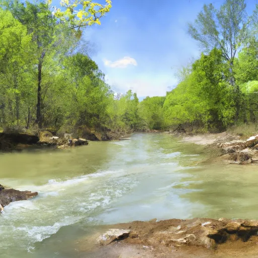 Hebron Access Site To Southern Forest Boundary In Sec 33, T24N, R11W