Summary
Ideal streamflow for this section ranges from 300 to 600 cubic feet per second (cfs). This section is rated as a Class II to III, making it suitable for intermediate-level kayakers and rafters. The segment mileage is approximately 12 miles long and includes several rapids and obstacles, including the Washing Machine, Roller Coaster, and the infamous Skunk Rapid.
The Washing Machine Rapid is a Class III rapid where the river channels through a narrow chute and sends kayakers and rafts spinning in circles. The Roller Coaster Rapid is also a Class III rapid with a series of drops and waves that make it a thrilling ride. Finally, the Skunk Rapid is a Class IV rapid that should only be attempted by experienced kayakers and rafters.
There are specific regulations that apply to this area. For example, all kayakers and rafters must wear a personal flotation device (PFD) at all times. Additionally, no littering or camping is allowed along the riverbanks. The Army base also imposes certain restrictions, including limited access during training exercises.
In conclusion, the Whitewater River Run from Missouri State Highway 17 to Fort Leonard Wood is a popular destination for intermediate-level kayakers and rafters. The ideal streamflow range is between 300 to 600 cfs, and the segment is approximately 12 miles long. Specific river rapids and obstacles include the Washing Machine, Roller Coaster, and Skunk Rapid. Finally, there are specific regulations that apply to this area, including wearing a PFD at all times and no littering or camping along the riverbanks.
°F
°F
mph
Wind
%
Humidity
15-Day Weather Outlook
River Run Details
| Last Updated | 2026-02-07 |
| River Levels | 284 cfs (2.86 ft) |
| Percent of Normal | 30% |
| Status | |
| Class Level | ii-iii |
| Elevation | ft |
| Streamflow Discharge | cfs |
| Gauge Height | ft |
| Reporting Streamgage | USGS 06930000 |


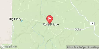
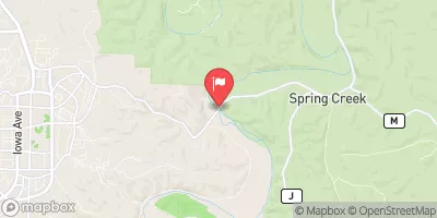
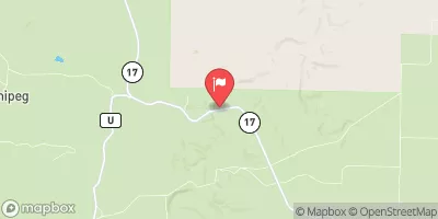
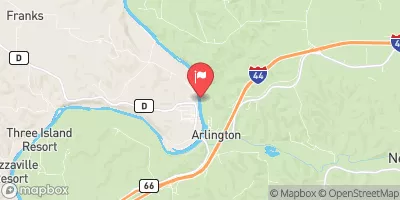
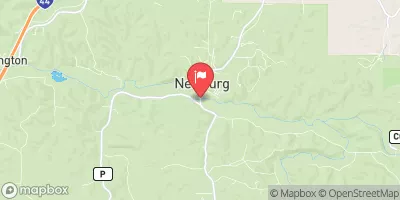
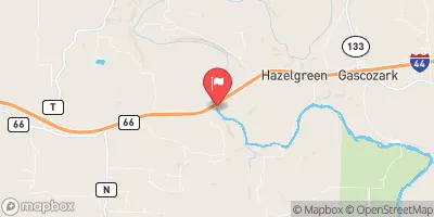
 Piney River Military - Fort Leonard Wood
 Big Piney equestrian camp
 Slabtown Recreation Area
 Paddy Creek
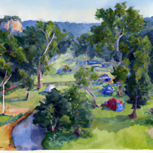 Roubidoux Springs
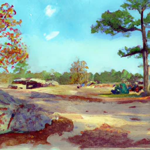 Big Piney trail primitive
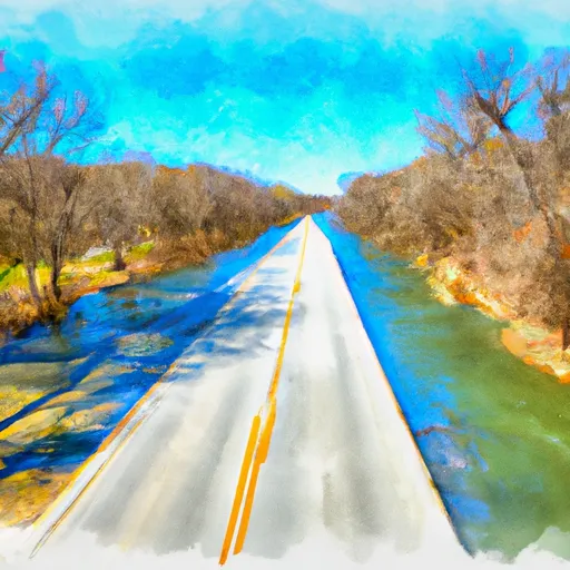 Missouri State Highway 17 To Fort Leonard Wood (Army Base)
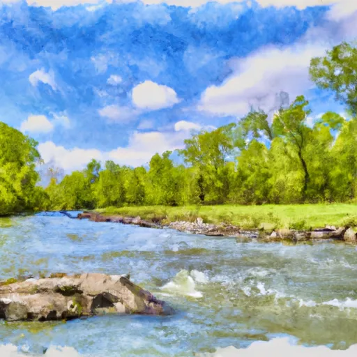 Northern Boundary Of Fort Leonard Wood To North Section Line Of Sec 31, T36N, R10W