Southeastern Boundary Of Bighorn Canyon National Recreation Area To Confluence With Bighorn River Paddle Report
Last Updated: 2026-02-11
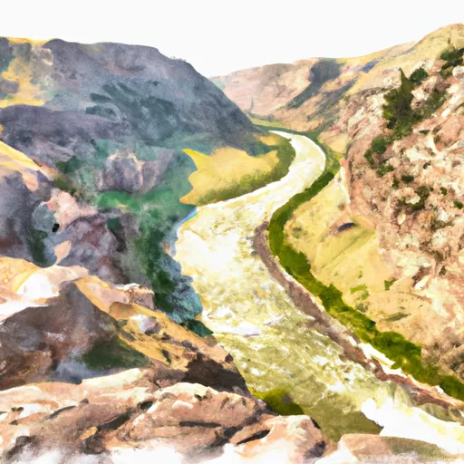
The Whitewater River Run in Montana is a challenging and scenic adventure that spans from the southeastern boundary of the Bighorn Canyon National Recreation Area to its confluence with the Bighorn River.
Summary
The ideal streamflow range for the run is between 3,000 and 10,000 cfs, which provides the most thrilling and enjoyable experience for whitewater enthusiasts. The run is rated Class III-IV, which means that it features moderate to difficult rapids and obstacles that require expertise in maneuvering through turbulent waters.
The segment mileage of the Whitewater River Run is approximately 14 miles, and it is divided into three distinct sections, each with its own set of rapids and obstacles. The first section starts at the Mason-Lovell Ranch and ends at the Devil Canyon Campground, covering a distance of five miles. The second section, known as the Devil Canyon, spans two miles and features challenging rapids such as the Corkscrew and the Rock Garden. The final section is six miles long and leads to the confluence with the Bighorn River, offering a more relaxed and scenic experience.
The Whitewater River Run features several challenging rapids and obstacles, including the Pinball, the Razor's Edge, and the S-Turn. The Pinball is a series of three drops that require precision and skill to navigate, while the Razor's Edge is a narrow chute with sharp rocks that calls for precise maneuvering to avoid hazards. The S-Turn is a set of rapids that require a careful approach and excellent paddling skills to avoid capsizing.
The Bighorn Canyon National Recreation Area has specific regulations to ensure the safety and enjoyment of visitors. All persons using the river must wear personal flotation devices, and commercial outfitters must meet specific qualifications and follow strict safety guidelines. Additionally, visitors are not allowed to disturb wildlife or damage the natural environment.
In conclusion, the Whitewater River Run in Montana is a thrilling and challenging adventure that requires skill and expertise to navigate. The ideal streamflow range is between 3,000 and 10,000 cfs, and the run is rated Class III-IV. The segment mileage is approximately 14 miles, and it features several challenging rapids and obstacles, including the Pinball, the Razor's Edge, and the S-Turn. There are specific regulations to the area to ensure safety and preserve the natural environment.
°F
°F
mph
Wind
%
Humidity
15-Day Weather Outlook
River Run Details
| Last Updated | 2026-02-11 |
| River Levels | 7550 cfs (62.75 ft) |
| Percent of Normal | 69% |
| Status | |
| Class Level | iii-iv |
| Elevation | ft |
| Run Length | 4.0 Mi |
| Streamflow Discharge | cfs |
| Gauge Height | ft |
| Reporting Streamgage | USGS 06287000 |
5-Day Hourly Forecast Detail
Nearby Streamflow Levels
 Bighorn River Near St. Xavier
|
1810cfs |
 Little Bighorn River At State Line Nr Wyola Mt
|
66cfs |
 West Pass Creek Near Parkman
|
10cfs |
 East Pass Creek Near Dayton
|
12cfs |
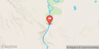 Bighorn River At Kane
|
1170cfs |
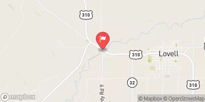 Shoshone River Near Lovell
|
404cfs |


 Southeastern Boundary Of Bighorn Canyon National Recreation Area To Confluence With Bighorn River