Northeast Yellowstone National Park Boundary, Near Cooke City To The Confluence With Lamar River Paddle Report
Last Updated: 2025-11-24
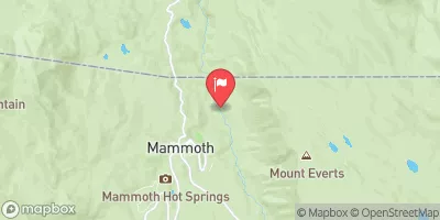
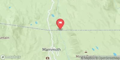
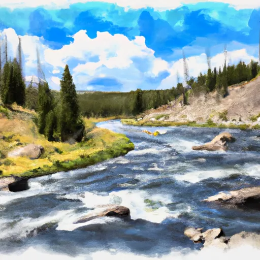
The Whitewater River run in Northeast Yellowstone National Park Boundary near Cooke City to the confluence with Lamar River in Montana is a thrilling rafting experience.
Summary
The ideal streamflow range for this run is between 600 and 2,000 cfs, which typically occurs between late May and early July. The river is classified as a class III to IV, which requires intermediate to advanced level of experience.
The segment mileage of the Whitewater River run is approximately 8.5 miles, which takes about 2-3 hours to complete. Some of the rapids and obstacles in this river include the Entrance Rapid, Rock Garden, and House Rock. The Entrance Rapid is a class IV rapid that requires precise maneuvering to avoid the large boulders. The Rock Garden is a technical rapid that requires careful navigation through the narrow channels between rocks. The House Rock is a class III rapid that requires paddling through the fast-moving water.
There are specific regulations to the area that visitors must follow, such as obtaining a permit to access the river, carrying a life jacket for each person in the raft, and adhering to a leave-no-trace policy. Additionally, visitors should be aware of the potential hazards in the river, such as cold water temperatures, strong currents, and submerged rocks.
Overall, the Whitewater River run in Northeast Yellowstone National Park Boundary near Cooke City to the confluence with Lamar River in Montana is a challenging and exciting rafting experience for experienced paddlers. It is important to research and follow all regulations and safety measures before embarking on this adventure to ensure a safe and enjoyable trip.
°F
°F
mph
Wind
%
Humidity
15-Day Weather Outlook
River Run Details
| Last Updated | 2025-11-24 |
| River Levels | 414 cfs (2.63 ft) |
| Percent of Normal | 70% |
| Status | |
| Class Level | iii-iv |
| Elevation | ft |
| Run Length | 18.0 Mi |
| Streamflow Discharge | cfs |
| Gauge Height | ft |
| Reporting Streamgage | USGS 06187915 |
5-Day Hourly Forecast Detail
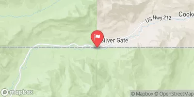
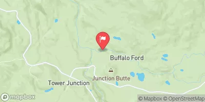
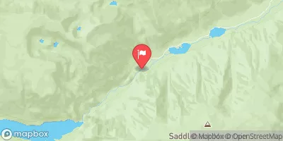
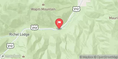
Nearby Streamflow Levels
Area Campgrounds
| Location | Reservations | Toilets |
|---|---|---|
 Upper Pebble Creek Ford
|
||
 Upper Pebble Creek
|
||
 Soda Butte Campground
|
||
 Bliss Pass Jct
|
||
 3P2
3P2
|
||
 Pebble Creek
|


 Northeast Yellowstone National Park Boundary, Near Cooke City To The Confluence With Lamar River
 Chief Joseph Cg, Sec. 28, T9S, R15E To Montana State Line, Sec. 34, T9S, R15E
 The Headwaters To Ends Above Slough Creek Campground, Located On A Secondary Spur Road To The Park'S Main Road