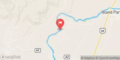
1/4 Mi West Landon Camp, Sec. 31, T12s, R1w To Fossil Creek, Sec. 27, T12s, R2w Paddle Report
Last Updated: 2025-09-29
Get the latest Paddle Report, Streamflow Levels, and Weather Forecast for 1/4 Mi West Landon Camp, Sec. 31, T12s, R1w To Fossil Creek, Sec. 27, T12s, R2w in Montana. Montana Streamflow Levels and Weather Forecast
Summary
°F
°F
mph
Wind
%
Humidity
15-Day Weather Outlook
River Run Details
| Last Updated | 2025-09-29 |
| River Levels | 160 cfs (4.53 ft) |
| Percent of Normal | 72% |
| Status | |
| Class Level | None |
| Elevation | ft |
| Streamflow Discharge | cfs |
| Gauge Height | ft |
| Reporting Streamgage | USGS 06006000 |
5-Day Hourly Forecast Detail
Nearby Streamflow Levels
Area Campgrounds
| Location | Reservations | Toilets |
|---|---|---|
 Elk Lake Dispersed Camping and Picnic Area
|
||
 Cliff Point Campground
|
||
 Wade Lake Campground and Picnic Areas
|
||
 Cliff Point
|
||
 Wade Lake
|
||
 Hilltop Campground
|
River Runs
-
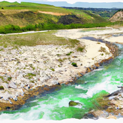 1/4 Mi West Landon Camp, Sec. 31, T12S, R1W To Fossil Creek, Sec. 27, T12S, R2W
-
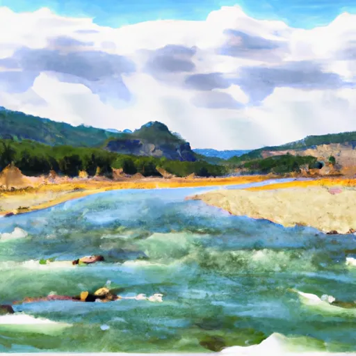 1/2 Below Landon Camp, Sec. 32, T12S, R1W To Up River 3/4 Mi, Sec. 31, T12S, R1W
-
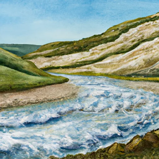 Fossil Ck & Wf Madison, Sec. 27, T12S, R2W To Miner Creek, Sec. 30 T12S, R2W
-
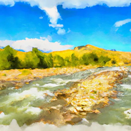 Shakelford Homestead, Sec. 26, T12S, R1W To 1/2 Mi Below Landon Camp, Sec. 32, T12S, R1W
-
 Dirty Ck To Elk River & Gravelly Range Road #290, Sec. 15 T11S R2W
-
 Elk Rv & Wf Madison Rv, Sec. 17, T12S, R1E To Dirty Creek, Sec. 11, T11S, R1W


