Summary
The ideal streamflow range for this section of the river is between 1,000 and 4,000 cubic feet per second (cfs). The segment covers a distance of 14 miles, starting from Mainstem Headwaters in section 21, T11N, R25W and ending at Montana Creek in section 18, T12N, R24W.
The class rating for this section of the river varies, with some stretches classified as Class II and others as Class III rapids. Rapids and obstacles to look out for include "The S-Turn," "Boulder Garden," and "Pinball." It is highly recommended that only experienced rafters attempt this route, as the rapids can be dangerous and require advanced paddling skills.
Specific regulations to the area include the requirement of a permit from the Montana Department of Fish, Wildlife, and Parks. Additionally, all boats must carry appropriate safety equipment such as life jackets, helmets, and throw ropes. The use of alcohol and drugs while on the river is strictly prohibited.
Overall, the Whitewater River Run is a challenging and exciting rafting route for experienced paddlers. It is important to check the streamflow levels and obtain proper permits before embarking on this adventure.
°F
°F
mph
Wind
%
Humidity
15-Day Weather Outlook
River Run Details
| Last Updated | 2026-02-07 |
| River Levels | 14000 cfs (10.91 ft) |
| Percent of Normal | 138% |
| Status | |
| Class Level | ii-iii |
| Elevation | ft |
| Streamflow Discharge | cfs |
| Gauge Height | ft |
| Reporting Streamgage | USGS 12388700 |
5-Day Hourly Forecast Detail
Nearby Streamflow Levels
 Clark Fork Below Missoula Mt
|
3010cfs |
 Bitterroot River Near Missoula Mt
|
1410cfs |
 Clark Fork Above Missoula Mt
|
1660cfs |
 Bitterroot River At Bell Crossing Nr Victor Mt
|
670cfs |
 St. Joe River At Red Ives Ranger Station Id
|
215cfs |
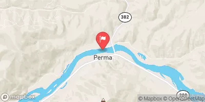 Flathead River At Perma Mt
|
13600cfs |
Area Campgrounds
| Location | Reservations | Toilets |
|---|---|---|
 Lee Creek
|
||
 Lee Creek Campground
|
||
 Forks FAS
|
||
 Clearwater Crossing Campground
|
||
 Earl Tennant
|
||
 West Fork Butte Lookout
|
River Runs
-
 Mainstem Headwaters, Sec. 21, T11N, R25W To Montana Creek, Sec. 18, T12N, R24W
-
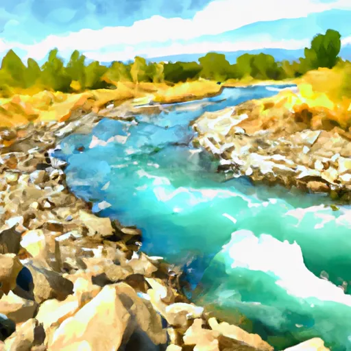 Montana Creek, Sec. 18, T11N, R24W To Fish Creek, Sec. 8, T12N, R24W
-
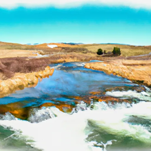 White Creek Headwaters, Sec. 33, T12N, R24W To Mainstem, Sec. 18, T12N, R24W
-
 Irish Creek Headwaters, Sec. 20, T12N, R25W To Mainstem, Sec. 22, T12N, R25W
-
 Pebble Creek Headwaters, Sec. 10, T11N, R25W To Mainstem, Sec. 28, T12N, R25W
-
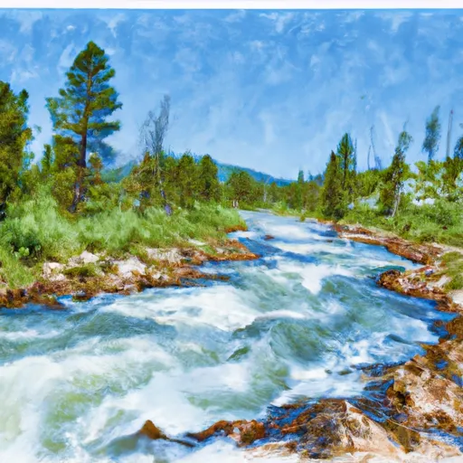 Cedar Log Creek Headwaters, Sec. 14, T12N, R26W To Mainstem, Sec. 19, T13N, R25W

