North Fork Bull River, Sec. 32, T29n, R32w To Proposed Cabinet Mtns Wilderness Boundary, Sec. 1, T28n, R32w Paddle Report
Last Updated: 2026-02-07
Get the latest Paddle Report, Streamflow Levels, and Weather Forecast for North Fork Bull River, Sec. 32, T29n, R32w To Proposed Cabinet Mtns Wilderness Boundary, Sec. 1, T28n, R32w in Montana. Montana Streamflow Levels and Weather Forecast
Summary
°F
°F
mph
Wind
%
Humidity
15-Day Weather Outlook
River Run Details
| Last Updated | 2026-02-07 |
| River Levels | 282 cfs (3.56 ft) |
| Percent of Normal | 86% |
| Status | |
| Class Level | None |
| Elevation | ft |
| Streamflow Discharge | cfs |
| Gauge Height | ft |
| Reporting Streamgage | USGS 12302055 |
5-Day Hourly Forecast Detail
Nearby Streamflow Levels
 Clark Fork River Below Cabinet Gorge Dam Id
|
12700cfs |
 Lightning Creek At Clark Fork Id
|
305cfs |
 Fisher River Near Libby Mt
|
381cfs |
 Kootenai River Bl Libby Dam Nr Libby Mt
|
4160cfs |
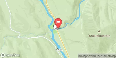 Yaak River Near Troy Mt
|
608cfs |
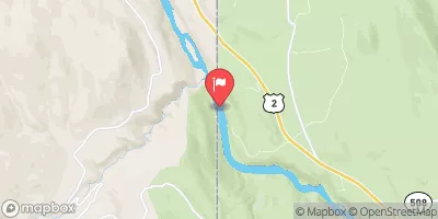 Kootenai River At Leonia Id
|
6380cfs |
Area Campgrounds
| Location | Reservations | Toilets |
|---|---|---|
 Bad Medicine
|
||
 Bad Medicine Campground
|
||
 Dorr Skeels
|
||
 Dorr Skeels Campground
|
||
 Spar Lake Campground
|
||
 Spar Lake
|
River Runs
-
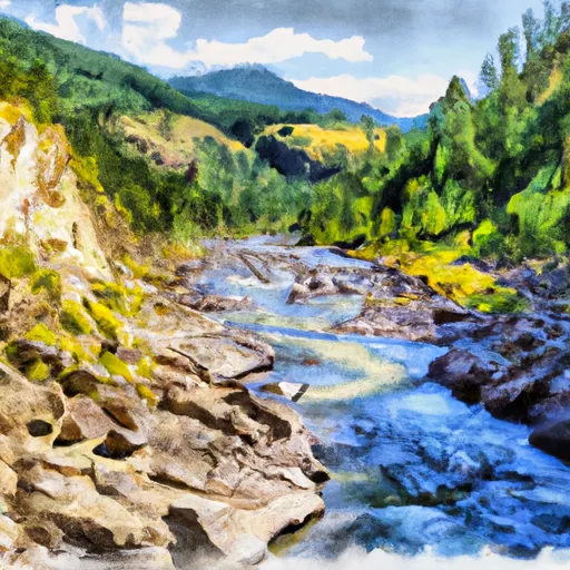 North Fork Bull River, Sec. 32, T29N, R32W To Proposed Cabinet Mtns Wilderness Boundary, Sec. 1, T28N, R32W
-
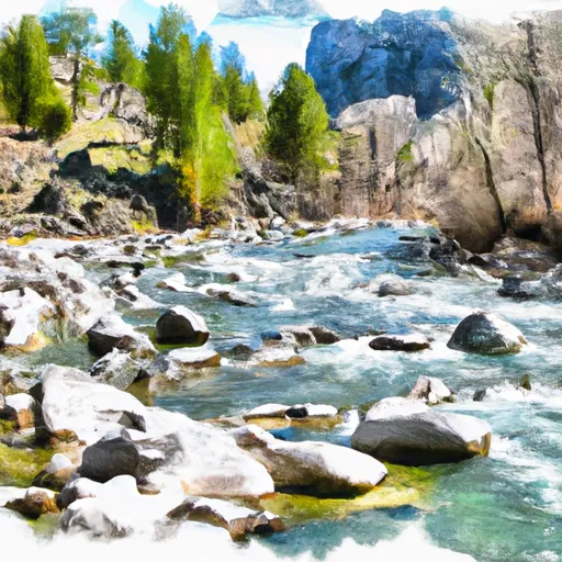 Middle Fork Bull River, Sec. 9, T28N, R33W To Proposed Addition To Cabinet Mtns Wilderness, Sec. 12, T28N, R33W
-
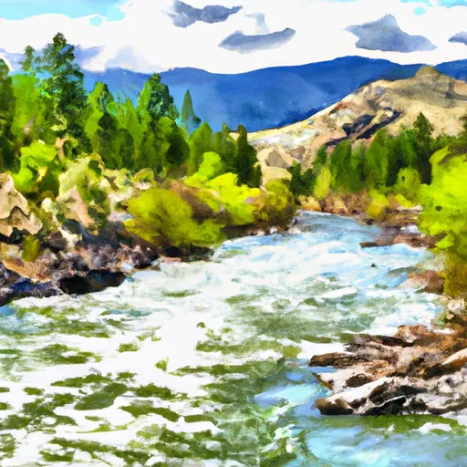 Cabinet Mtns Wilderness Boundary, Sec. 3, T27N, R32W To Bull River, Sec. 12, T27N, R33W
-
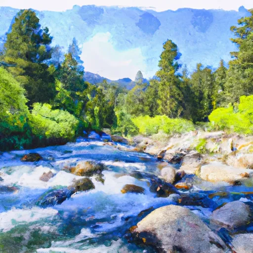 East Fork Bull River, Headwaters, Sec. 13, T27N, R32W To Cabinet Mountains Wilderness Boundary, Sec. 3, T27N, R32W

