Summary
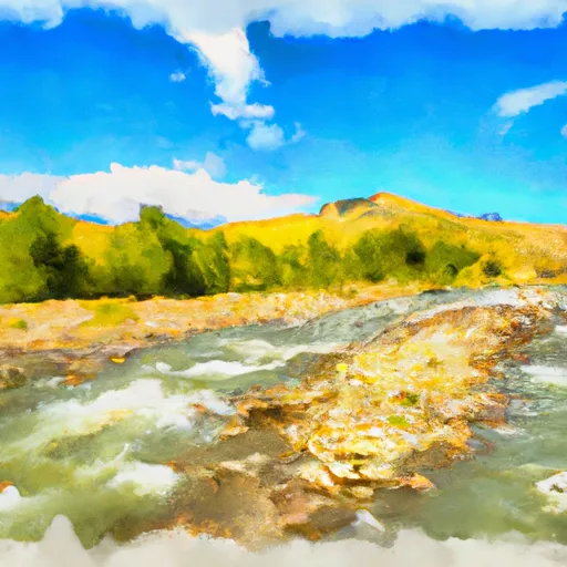
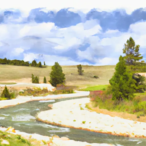
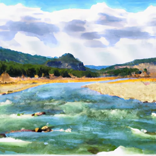
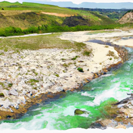
15 T11S R2W in Montana is a popular destination for whitewater enthusiasts. The ideal streamflow range for this river is between 500 and 1500 cubic feet per second (cfs), with the peak season being in late May to early June.
This section of the river is rated as a class III-IV, with a total segment mileage of approximately 16 miles. Some of the specific river rapids and obstacles include Double Drop, Tight Squeeze, The Chute, and Horseshoe Bend.
There are specific regulations that apply to this area. For instance, all boaters must wear a personal flotation device (PFD) at all times while on the water. Additionally, there are restrictions on the use of motorized watercraft.
In conclusion, the Whitewater River Run from Dirty Creek to Elk River and Gravelly Range Road #290, Sec. 15 T11S R2W in Montana is an exciting whitewater destination. The ideal streamflow range, class rating, segment mileage, specific river rapids/obstacles, and specific regulations to the area make it an unforgettable adventure for experienced whitewater enthusiasts.
°F
°F
mph
Wind
%
Humidity
15-Day Weather Outlook
River Run Details
| Last Updated | 2026-02-07 |
| River Levels | 1360 cfs (2.17 ft) |
| Percent of Normal | 76% |
| Status | |
| Class Level | iii-iv |
| Elevation | ft |
| Streamflow Discharge | cfs |
| Gauge Height | ft |
| Reporting Streamgage | USGS 06038800 |
5-Day Hourly Forecast Detail
Nearby Streamflow Levels
Area Campgrounds
| Location | Reservations | Toilets |
|---|---|---|
 Wade Lake Campground and Picnic Areas
|
||
 Wade Lake
|
||
 Cliff Point Campground
|
||
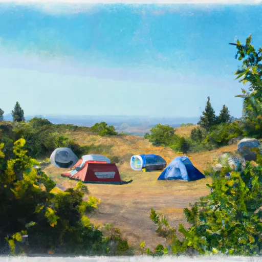 Hilltop Campground
|
||
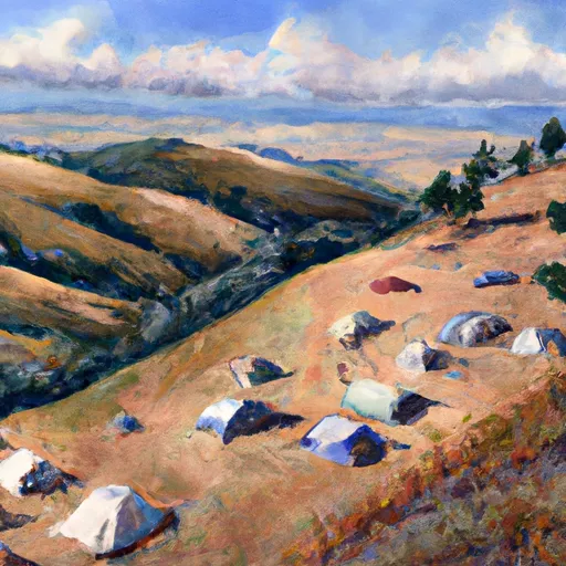 Hilltop
|
||
 Cliff Point
|
River Runs
-
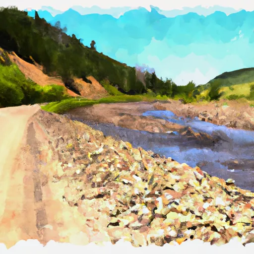 Dirty Ck To Elk River & Gravelly Range Road #290, Sec. 15 T11S R2W
-
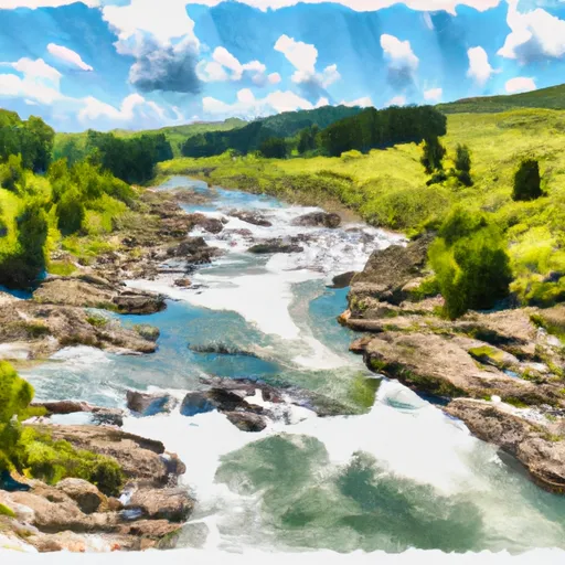 Elk Rv & Wf Madison Rv, Sec. 17, T12S, R1E To Dirty Creek, Sec. 11, T11S, R1W
-
 Shakelford Homestead, Sec. 26, T12S, R1W To 1/2 Mi Below Landon Camp, Sec. 32, T12S, R1W
-
 Jackpine Rd & Wf Madison Rd, Sec. 4, T12S, R1E To Shakelford Homestead, Sec. 25, T1S, R1W
-
 1/2 Below Landon Camp, Sec. 32, T12S, R1W To Up River 3/4 Mi, Sec. 31, T12S, R1W
-
 1/4 Mi West Landon Camp, Sec. 31, T12S, R1W To Fossil Creek, Sec. 27, T12S, R2W


