Summary
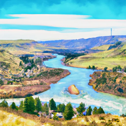
This stretch of river runs from the Town of Nelson, Sec. 12, T12N, R2W to the Missouri River, Sec. 19, T12N, R2W. The ideal streamflow range for this river is between 1,000 and 5,000 cubic feet per second (cfs). The river is rated as a Class II-III, with some Class IV rapids in certain sections.
The segment mileage of the Whitewater River Run is approximately 16 miles, and it is known for its scenic views and challenging rapids. Paddlers can expect to encounter several rapids and notable obstacles, including the "Boulder Garden" and "Jaws." There are also several large rocks and boulders that can pose a hazard to paddlers, so caution is advised.
In terms of regulations, all boaters are required to wear a U.S. Coast Guard approved personal flotation device (PFD) while on the river. Additionally, the use of alcohol and drugs is strictly prohibited while on the water. It is also important to note that this river runs through private land, so paddlers should respect property boundaries and obtain appropriate permits and permissions before accessing the river.
Overall, the Whitewater River Run is a challenging and exciting destination for experienced whitewater paddlers. With its scenic views, challenging rapids, and specific regulations, it offers a unique and memorable experience for those seeking adventure on the water.
°F
°F
mph
Wind
%
Humidity
15-Day Weather Outlook
River Run Details
| Last Updated | 2026-02-07 |
| River Levels | 13900 cfs (8.36 ft) |
| Percent of Normal | 76% |
| Status | |
| Class Level | ii-iii |
| Elevation | ft |
| Streamflow Discharge | cfs |
| Gauge Height | ft |
| Reporting Streamgage | USGS 06065500 |
5-Day Hourly Forecast Detail
Nearby Streamflow Levels
Area Campgrounds
| Location | Reservations | Toilets |
|---|---|---|
 White Sandy
|
||
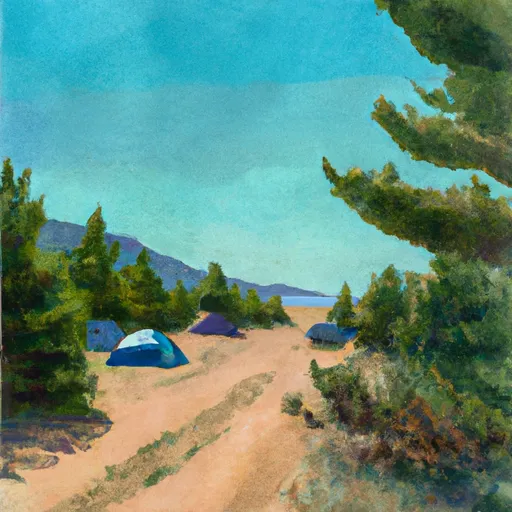 Black Sandy State Park
|
||
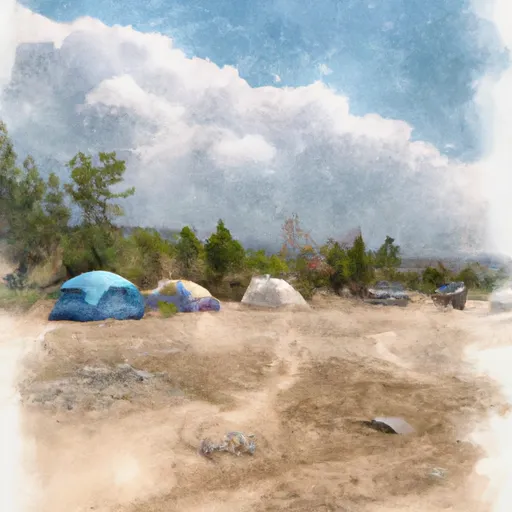 WHITE SANDY CAMPGROUND
|
||
 BEARTOOTH LANDING
|
||
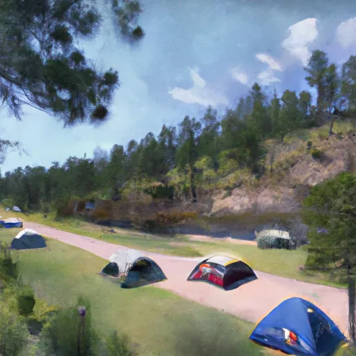 Devils Elbow Campground
|
||
 SPOKANE BAY
|


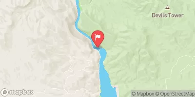

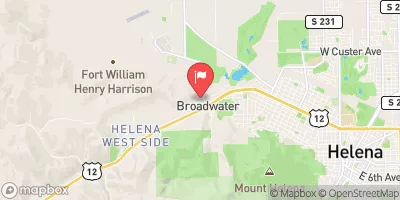
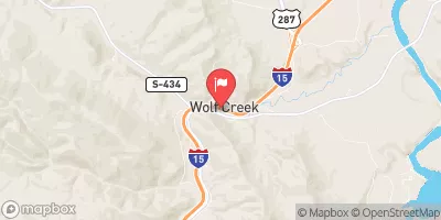

 Hauser Dam Road Helena Valley Northeast
 WHITE SANDY BOAT RAMP
 DEVILS ELBOW BOAT RAMP
 Town Of Nelson, Sec. 12, T12N, R2W To Missouri River, Sec. 19, T12N, R2W
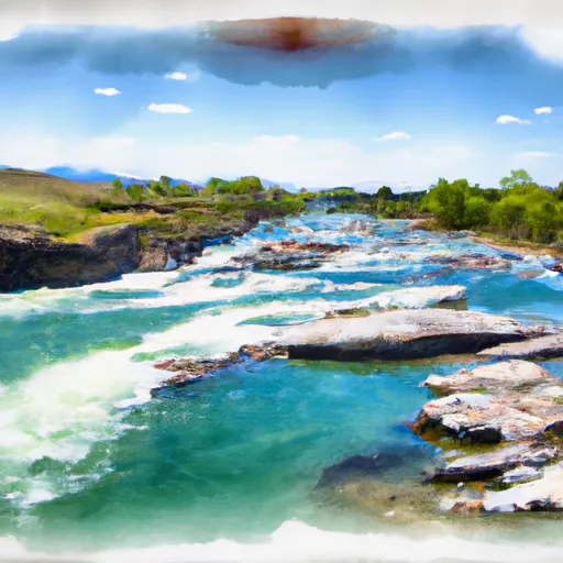 Missouri River
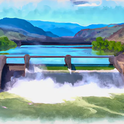 Hauser Dam, Sec. 29, T12N, R2W To Cochran Gulch, Sec. 18, T12N, R2W
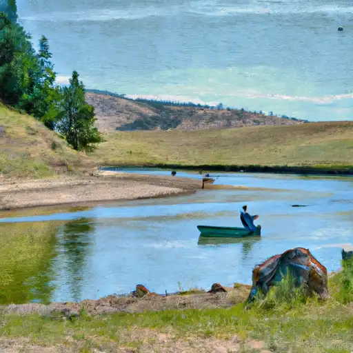 Prickly Pear Creek
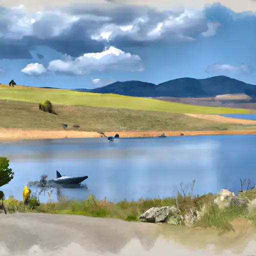 Hauser Reservoir
 Helena Valley Regulating Reservoir