Summary
The ideal streamflow range for the Big Hole River is between 500 and 2,500 cfs, depending on the section of the river. The river is known for its Class II-IV rapids, with the most challenging sections located in the upper stretches of the river. The segment mileage on the Big Hole River varies depending on the section being navigated, with the upper stretches of the river offering the longest runs.
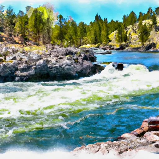
Specific rapids and obstacles on the Big Hole River include the "Divide Bridge" rapid, which features a large wave train, and the "Doubles" rapid, which is a series of two drops. Other notable rapids include "Fish Trap" and "Notch Bottom." The river is also known for its deep pools and rocky canyons.
Specific regulations to the Big Hole River area include a catch-and-release policy for all cutthroat trout and a bag limit of two brown trout per day. Additionally, there are restrictions on the use of motorized watercraft on certain stretches of the river in order to protect the natural environment and preserve the wilderness experience for paddlers.
°F
°F
mph
Wind
%
Humidity
15-Day Weather Outlook
River Run Details
| Last Updated | 2025-06-28 |
| River Levels | 5400 cfs (6.74 ft) |
| Percent of Normal | 35% |
| Status | |
| Class Level | ii-iv |
| Elevation | ft |
| Streamflow Discharge | cfs |
| Gauge Height | ft |
| Reporting Streamgage | USGS 06026500 |
5-Day Hourly Forecast Detail
Nearby Streamflow Levels
Area Campgrounds
| Location | Reservations | Toilets |
|---|---|---|
 Brownes Bridge FAS
|
||
 Salmon Fly FAS
|
||
 Maidenrock FAS
|
||
 Glen FAS
|
||
 Notch Bottom FAS
|
||
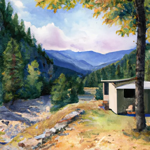 Canyon Creek Cabin
|


 Big Hole River