Summary
The river features several tough obstacles, including Class III rapids and rocky sections that require careful navigation. The best time to float this section of water is typically in late May or early June, when the water flow is around 1,000-1,500 cubic feet per second (cfs). However, the river can be navigated at higher or lower flows depending on the paddler's skill level. Overall, this river run is a thrilling adventure for those seeking a challenging and beautiful outdoor experience.
°F
°F
mph
Wind
%
Humidity
15-Day Weather Outlook
River Run Details
| Last Updated | 2023-06-13 |
| River Levels | 1970 cfs (6.35 ft) |
| Percent of Normal | 123% |
| Optimal Range | 300-2000 cfs |
| Status | Too Low |
| Class Level | II to II+ |
| Elevation | 4,402 ft |
| Run Length | 58.9 Mi |
| Gradient | 16 FPM |
| Streamflow Discharge | 87.8 cfs |
| Gauge Height | 2.8 ft |
| Reporting Streamgage | USGS 06076690 |
5-Day Hourly Forecast Detail
Nearby Streamflow Levels
 Smith River Near Ft Logan Mt
|
88cfs |
 Smith River Bl Eagle Cr Nr Fort Logan Mt
|
174cfs |
 Smith River Near Eden Mt
|
119cfs |
 Belt Creek Near Monarch Mt
|
25cfs |
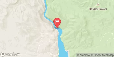 Missouri River Bl Hauser Lake Nr Helena Mt
|
3370cfs |
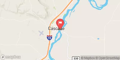 Missouri River At Cascade Mt
|
3650cfs |


 Camp Baker to Eden Bridge
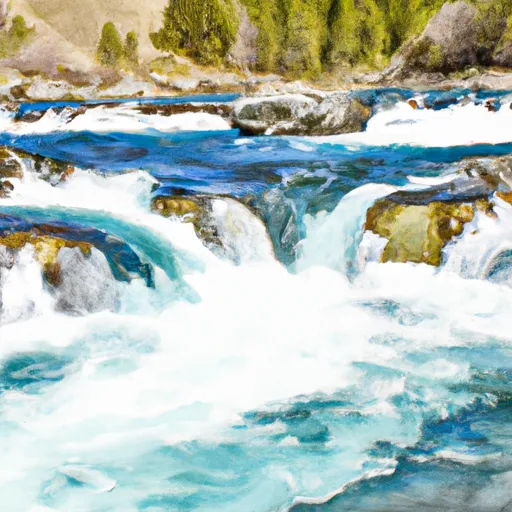 Falls, Sec. 25, T14N, R4E To Smith River, Sec. 25, T14N, R3E