Summary
The ideal streamflow range for the Whitewater River Run is between 300 and 800 cubic feet per second (cfs), with the best time to run the river being in the spring and early summer when snowmelt increases water flow.
The segment mileage of the Whitewater River Run is broken up into three sections: the upper section covering 6 miles, the middle section covering 14 miles, and the lower section covering 20 miles. The upper section is characterized by Class II rapids, while the middle and lower sections have mostly Class III rapids with a few Class IV rapids.
Specific river rapids and obstacles on the Whitewater River Run include the "Toilet Bowl," a Class III rapid in the middle section; the "Mother-in-Law" rapid in the lower section; and the "Hole in the Wall" rapid in the upper section.
There are specific regulations to the area that must be followed when running the Whitewater River Run. These regulations include obtaining a permit for the Great Basin National Park backcountry, having a completed float plan and emergency contact information, and following Leave No Trace principles.
In summary, the Whitewater River Run in Nevada is a Class II-III river that covers 40 miles and has an ideal streamflow range of 300-800 cfs. The segment mileage is broken up into three sections with specific river rapids and obstacles. Specific regulations must be followed when running this river.
°F
°F
mph
Wind
%
Humidity
15-Day Weather Outlook
River Run Details
| Last Updated | 2026-02-07 |
| River Levels | 31 cfs (4.34 ft) |
| Percent of Normal | 66% |
| Status | |
| Class Level | ii-iii |
| Elevation | ft |
| Run Length | 5.0 Mi |
| Streamflow Discharge | cfs |
| Gauge Height | ft |
| Reporting Streamgage | USGS 10243260 |
5-Day Hourly Forecast Detail
Nearby Streamflow Levels
Area Campgrounds
| Location | Reservations | Toilets |
|---|---|---|
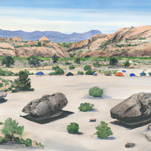 Shoshone 3
|
||
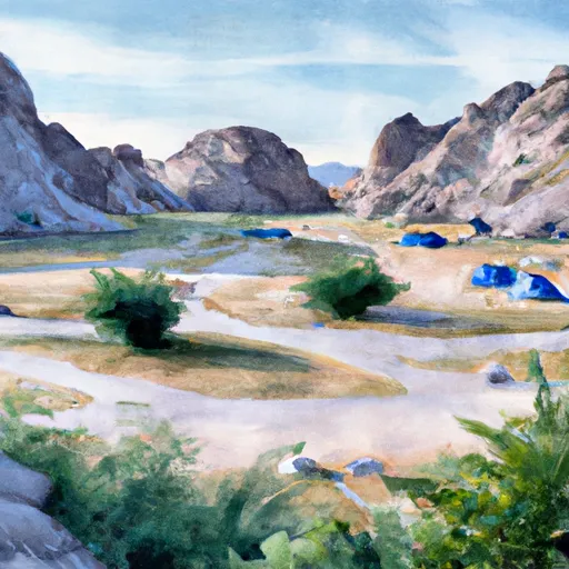 Shoshone 2
|
||
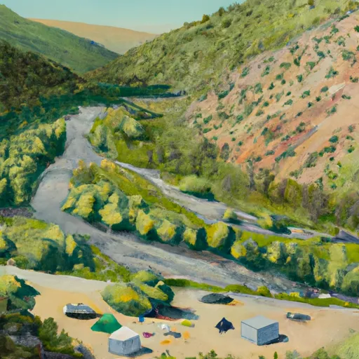 Snake Creek Campground
|
||
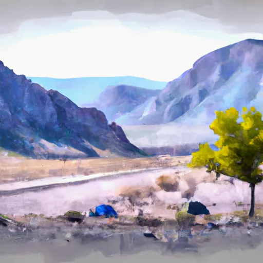 Shoshone 1
|
||
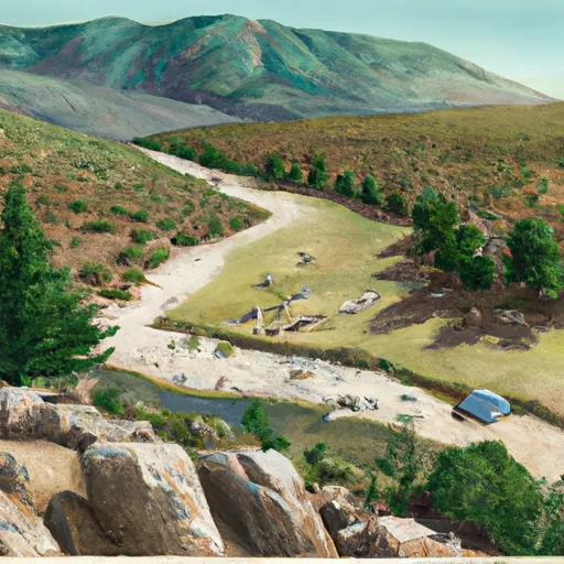 Snake Creek
|
||
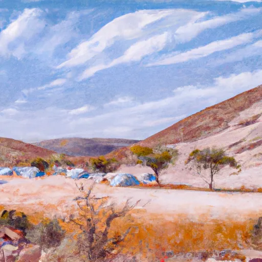 camp spot 21
|


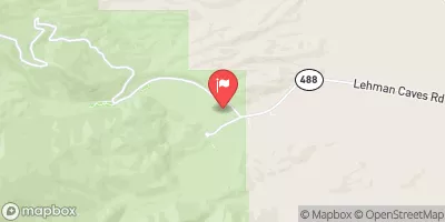
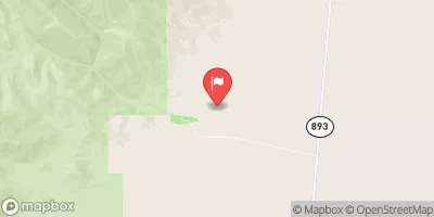
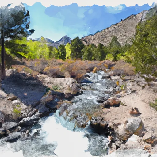 Headwaters To Eastern Boundary Of Great Basin National Park