2026-02-20T04:00:00-08:00
* WHAT...Snow expected. Total snow accumulations between 1 and 6 inches. * WHERE...Portions of eastern, north central, northeast, northwest, and south central Nevada. * WHEN...Until 4 AM PST Friday. * IMPACTS...Roads, and especially bridges and overpasses, will likely become slick and hazardous. Plan on slippery road conditions. The hazardous conditions could impact the Thursday evening commute.
Summary
The ideal streamflow range for this run is between 500-1000 cfs, which can be checked on the USGS website. This class III-IV run covers a distance of 18 miles, with notable rapids such as "S-Turn," "Big Drop," and "Deadman's Drop." Paddlers will also encounter obstacles such as boulders and tight channels.
There are specific regulations for this area, including a permit requirement for commercial outfitters and a limit on group sizes. Additionally, all boaters must wear personal flotation devices (PFDs) and carry a whistle. The area is also subject to fire restrictions and requires Leave No Trace principles to be followed.
It is important for boaters to be prepared for this run and have the necessary equipment and skills. The water can be cold and swift, and the rapids can be challenging. It is recommended that paddlers have prior experience with Class III rapids before attempting this run.
°F
°F
mph
Wind
%
Humidity
15-Day Weather Outlook
River Run Details
| Last Updated | 2026-02-07 |
| River Levels | 357 cfs (4.11 ft) |
| Percent of Normal | 117% |
| Status | |
| Class Level | iii-iv |
| Elevation | ft |
| Streamflow Discharge | cfs |
| Gauge Height | ft |
| Reporting Streamgage | USGS 10316500 |
5-Day Hourly Forecast Detail
Nearby Streamflow Levels
 Lamoille C Nr Lamoille
|
10cfs |
 S Fk Humboldt R Abv Tenmile Ck Nr Elko
|
31cfs |
 S F Humboldt R Ab Dixie C Nr Elko
|
29cfs |
 Humboldt R Nr Elko
|
51cfs |
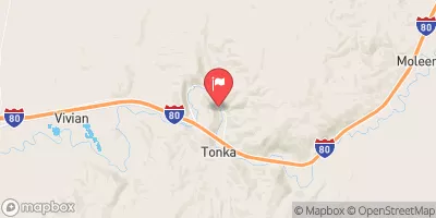 Humboldt R Nr Carlin
|
96cfs |
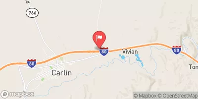 Susie Creek At Carlin
|
3cfs |
Area Campgrounds
| Location | Reservations | Toilets |
|---|---|---|
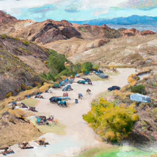 Terraces Campground & Picnic Area
|
||
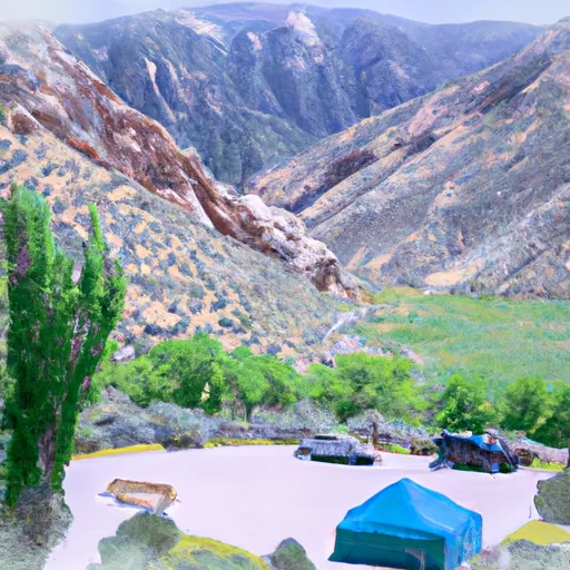 Thomas Canyon Campground
|
||
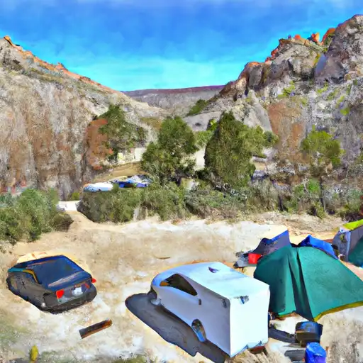 Thomas Canyon
|


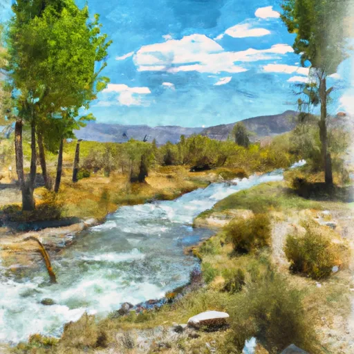 Roads End To Forest Boundary
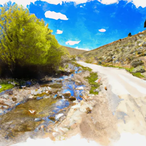 Headwaters To Trailhead, Roads End