

Summary
The ideal streamflow range for this river is between 200-500 cfs. The class rating for this river run is Class III, which means it has moderate rapids and requires some skill and experience to navigate safely.
The segment mileage of the Big Trout Creek run is 8 miles, starting from the East Fork and ending at the confluence of the West and East Forks. The river features several rapids and obstacles, including the Broken Oar Rapid, the Devil's Elbow Rapid, and the Chicken Eater Rapid. These rapids require careful navigation and can provide an exciting challenge for experienced paddlers.
Specific regulations to the area include a permit requirement for commercial trips and a limit of 25 people per group. Additionally, all paddlers must wear a life jacket and be prepared to handle potential hazards such as downed trees and high water levels. It is also important to respect private property along the river and pack out all trash and waste.
Regional Streamflow Levels
15-Day Long Term Forecast
River Run Details
| Last Updated | 2025-06-28 |
| River Levels | 74 cfs (3.45 ft) |
| Percent of Normal | 26% |
| Status | |
| Class Level | iii |
| Elevation | ft |
| Streamflow Discharge | cfs |
| Gauge Height | ft |
| Reporting Streamgage | USGS 10352500 |

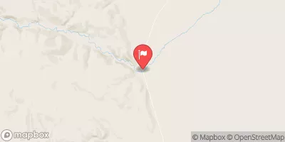
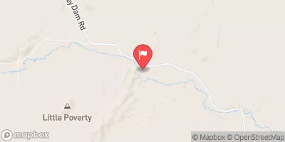
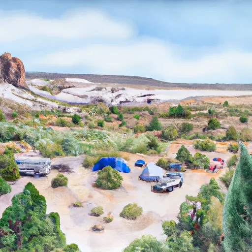
 Trout Creek Headwaters Campsite
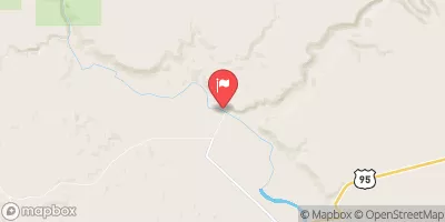
 E Fork Big Trout Creek Campsite
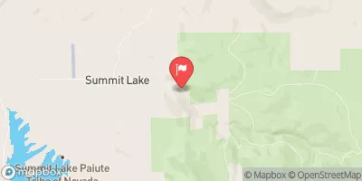
 Minehole Cr Hunter Camp
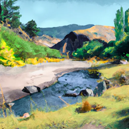 Willow Creek - Whitehorse Hot Springs
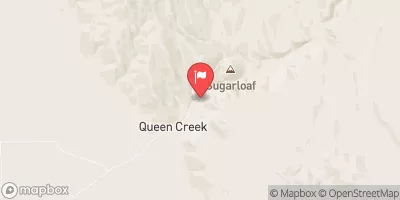
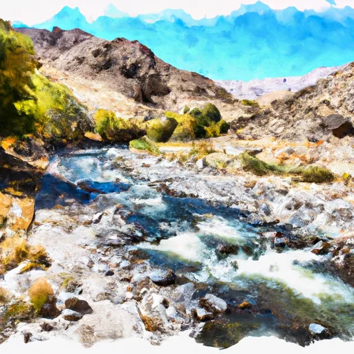
 Cottonwood Cr Hunter Camp
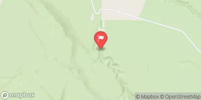
 Little Cottonwood Campsite
 Big Trout Creek (Including East Fork)