Summary
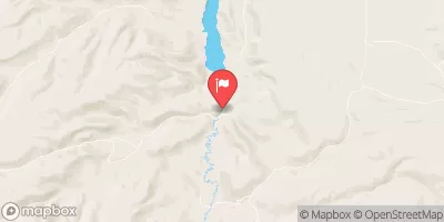
The ideal streamflow range for this river run is between 400-800 cubic feet per second (cfs), which typically occurs in the spring months of May and June. The segment mileage for this section of the river is approximately 7.5 miles, starting at the Salmon Falls Creek Reservoir and ending at the confluence with the Humboldt River.
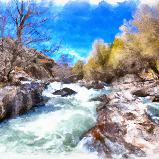
Salmon Falls Creek is rated as a Class III to Class IV river, making it a suitable destination for intermediate to advanced paddlers. The river features several challenging rapids and obstacles, including the "Diversion Dam Rapid" and "Boxcar Rapid," which require technical skills and experience to navigate safely.
In terms of regulations, all paddlers are required to wear personal flotation devices (PFDs) at all times while on the river. Additionally, permits are required for commercial trips and are available through the Bureau of Land Management. Private boaters do not need a permit, but are encouraged to practice Leave No Trace principles and respect private property along the river.
Overall, Salmon Falls Creek offers a thrilling whitewater experience for paddlers looking for a challenging Class III to Class IV run. However, it is important to check current streamflow levels and ensure that you have the appropriate skills and equipment before embarking on this adventure.
°F
°F
mph
Wind
%
Humidity
15-Day Weather Outlook
River Run Details
| Last Updated | 2025-06-28 |
| River Levels | 644 cfs (8.22 ft) |
| Percent of Normal | 40% |
| Status | |
| Class Level | iii-iv |
| Elevation | ft |
| Streamflow Discharge | cfs |
| Gauge Height | ft |
| Reporting Streamgage | USGS 13105000 |
5-Day Hourly Forecast Detail
Nearby Streamflow Levels
Area Campgrounds
| Location | Reservations | Toilets |
|---|---|---|
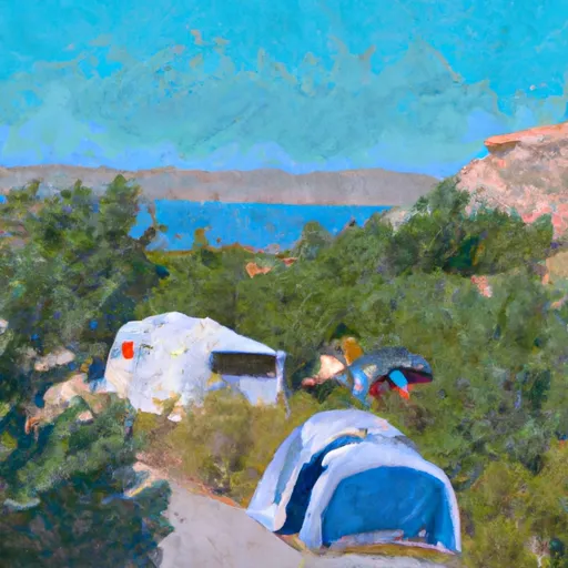 Backwaters Recreation Site
|
||
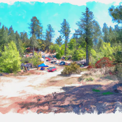 Norton Bay Recreation Site
|
||
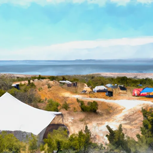 Big Sand Bay Recreation Site
|
||
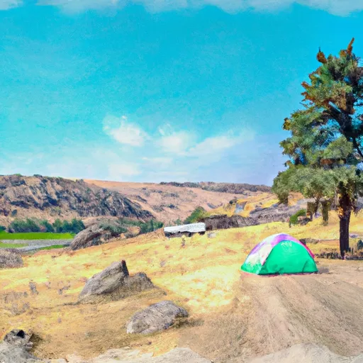 Greys Landing Recreation Site
|



 Salmon Falls Creek
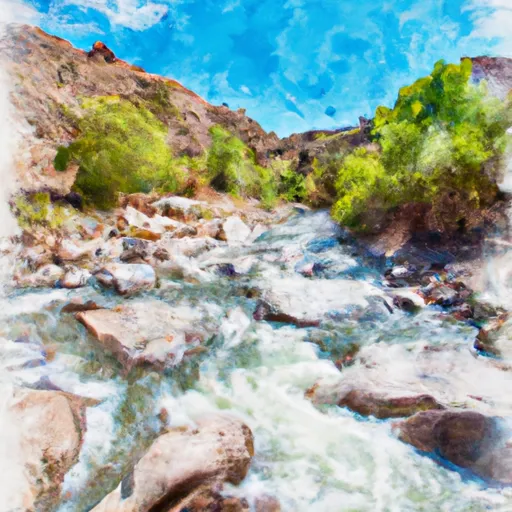 Rocky Canyon Creek