Summary
The ideal streamflow range for the Jarbidge River is between 400-800 cfs, which provides excellent rapids and drops for kayakers and rafters.
The river is rated as Class III-IV, with several sections that require technical skills and knowledge of whitewater safety. The segment mileage of the Jarbidge River is approximately 50 miles, with the upper section being the most challenging and the lower section being more suitable for intermediate paddlers.
Some of the specific river rapids and obstacles on the Jarbidge River include Lethal Weapon, a Class IV rapid with a steep drop and technical maneuvering required, and Painted Gorge, another Class IV rapid with a series of drops and tight turns.
There are specific regulations for the Jarbidge River area, including a permit requirement for all boaters, which can be obtained through the Forest Service. Additionally, there are restrictions on camping and fires in certain areas, as well as rules regarding the use of toilets and human waste disposal.
°F
°F
mph
Wind
%
Humidity
15-Day Weather Outlook
River Run Details
| Last Updated | 2025-06-28 |
| River Levels | 176 cfs (4.38 ft) |
| Percent of Normal | 27% |
| Status | |
| Class Level | iii-iv |
| Elevation | ft |
| Streamflow Discharge | cfs |
| Gauge Height | ft |
| Reporting Streamgage | USGS 13162225 |
5-Day Hourly Forecast Detail
Nearby Streamflow Levels
Area Campgrounds
| Location | Reservations | Toilets |
|---|---|---|
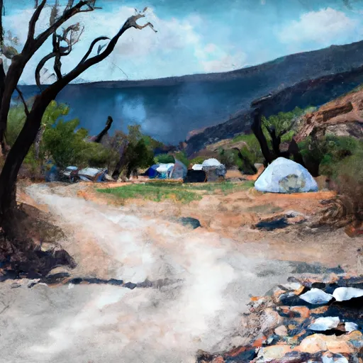 Sawmill
|
||
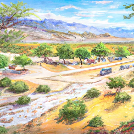 Sawmill Campground
|
||
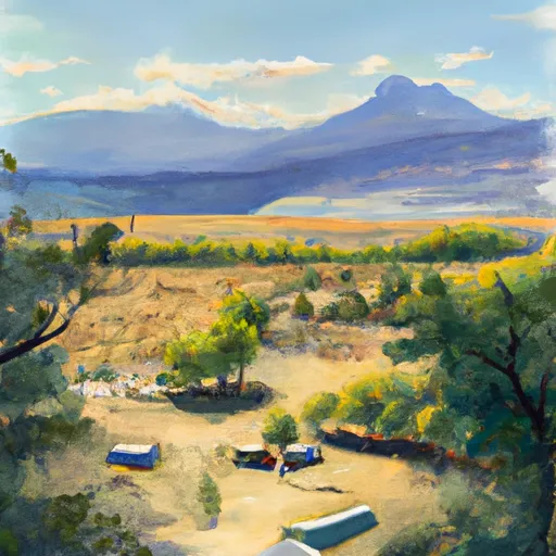 Jarbidge
|
||
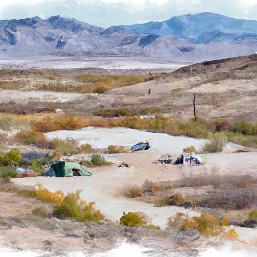 Pavlak Campground
|
||
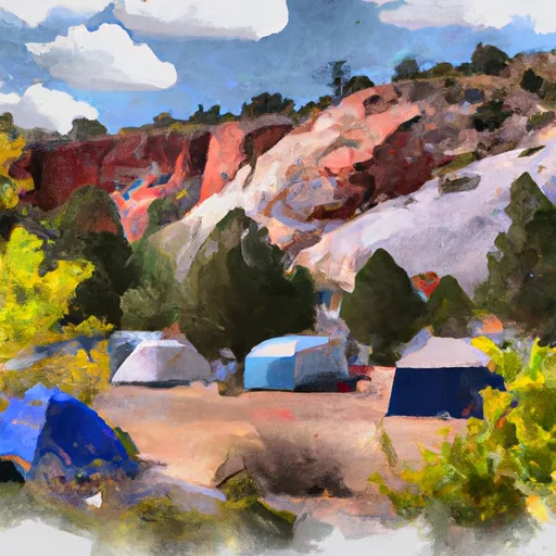 Upper Bluster Campground
|
||
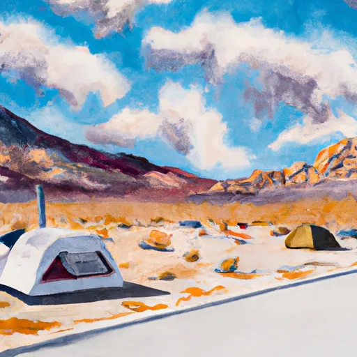 Lower Bluster Campground
|


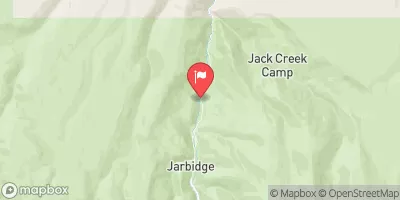
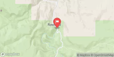
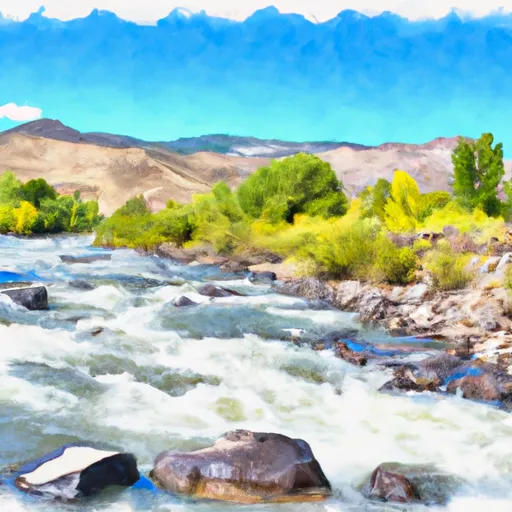 Jarbidge River
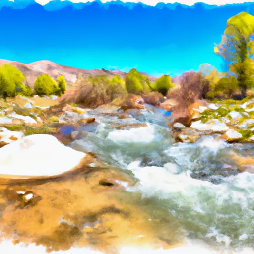 Dave Creek
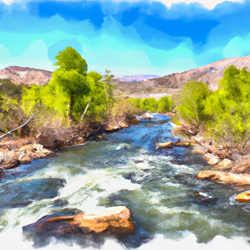 East Fork Jarbidge River
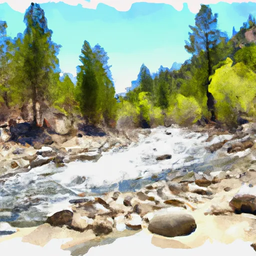 Wilderness Boundary To Forest Boundary
 Cougar Point Creek