Summary
This stretch of river is approximately 16 miles long and is rated as a Class III-IV whitewater run. The ideal streamflow range for this river is between 900 and 1500 cubic feet per second (cfs), which typically occurs during the spring runoff season. However, it is important to note that the flow can change rapidly due to the unpredictable nature of the river.
There are several rapids and obstacles along the Whitewater River Run, including "Deadman's Drop," "The Oven," and "The Narrows." These rapids are known for their steep drops, tight chutes, and technical maneuvers. It is recommended that only experienced whitewater paddlers attempt this section of river.
There are specific regulations in place for the Whitewater River Run, including a permit requirement for commercial outfitters and a limit on the number of commercial trips allowed per day. Additionally, all boaters are required to follow Leave No Trace principles and adhere to all local rules and regulations.
In summary, the Whitewater River Run in New Mexico is a challenging and technical Class III-IV whitewater run. It spans 16 miles and is best paddled during the spring runoff season when the flow is between 900 and 1500 cfs. There are several rapids and obstacles along the way, and only experienced paddlers should attempt this section of river. It is important to follow all regulations and Leave No Trace principles while on the river.
°F
°F
mph
Wind
%
Humidity
15-Day Weather Outlook
River Run Details
| Last Updated | 2026-02-07 |
| River Levels | 0 cfs (7.8 ft) |
| Percent of Normal | 3% |
| Status | |
| Class Level | iii-iv |
| Elevation | ft |
| Streamflow Discharge | cfs |
| Gauge Height | ft |
| Reporting Streamgage | USGS 09386900 |
5-Day Hourly Forecast Detail
Nearby Streamflow Levels
Area Campgrounds
| Location | Reservations | Toilets |
|---|---|---|
 McGaffey
|
||
 McGaffey Campground
|
||
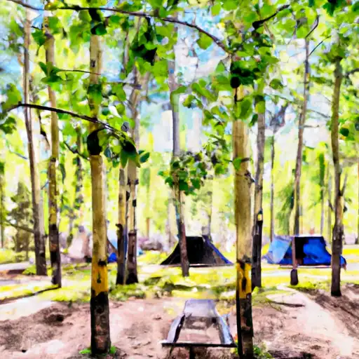 Quaking Aspen
|


 Nf Boundary With Silva Ranch To The East To Nf Boundary With Tnc To The South