Summary
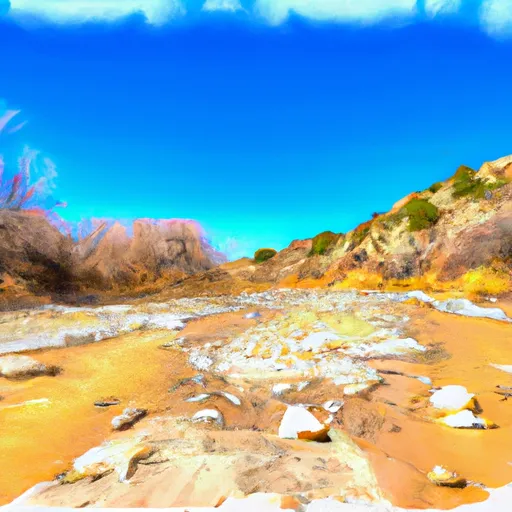
This section of the river is rated as a Class II-III, with an ideal streamflow range of 500-1000 cfs. The segment mileage is approximately 10 miles long, and there are several notable rapids and obstacles along the way, including Fishhook Rapid and Razorback Rapid.
The Gila National Forest has specific regulations for the use of this area, including a permit requirement for all commercial outfitters. Additionally, all visitors are required to practice Leave No Trace principles and follow all forest regulations. It is important to note that this section of the river is typically only runnable during the spring and early summer months when there is enough snowmelt to maintain adequate flow.
Multiple sources, including the US Forest Service and whitewater guidebooks, confirm these details about the Whitewater River Run Trail 810 to Private Land Boundary (T11S, R19W, Sec 6). It is important for all visitors to this area to research and follow all regulations and safety guidelines to ensure a safe and enjoyable experience on the river.
°F
°F
mph
Wind
%
Humidity
15-Day Weather Outlook
River Run Details
| Last Updated | 2026-02-07 |
| River Levels | 42 cfs (1.74 ft) |
| Percent of Normal | 41% |
| Status | |
| Class Level | ii-iii |
| Elevation | ft |
| Streamflow Discharge | cfs |
| Gauge Height | ft |
| Reporting Streamgage | USGS 09444000 |
5-Day Hourly Forecast Detail
Nearby Streamflow Levels
 San Francisco River Near Glenwood
|
24cfs |
 Mogollon Creek Near Cliff
|
10cfs |
 Blue River Near Clifton
|
0cfs |
 San Francisco River Near Reserve
|
3350cfs |
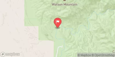 Gila River Near Gila
|
70cfs |
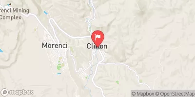 San Francisco River At Clifton
|
59cfs |


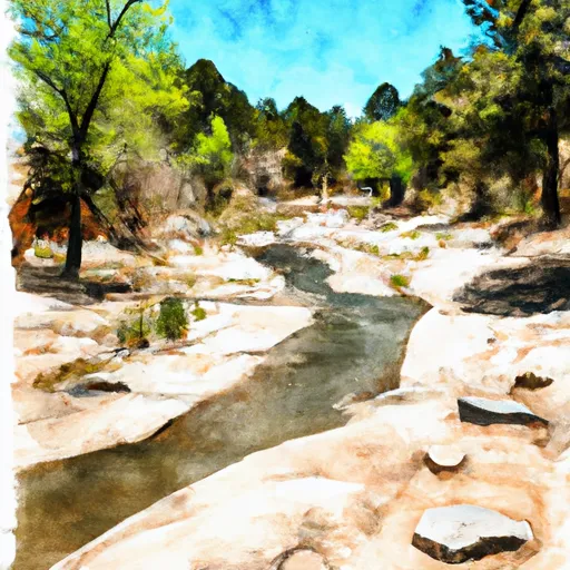 Trail 810 To Private Land Boundary (T11S, R19W, Sec 6)
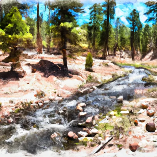 Headwaters To Trail 810
 Headwaters To Confluence With Big Dry Creek