

2026-04-23T20:00:00-06:00
...RED FLAG WARNING TODAY FROM 9 AM TO 8 PM MDT FOR THE RIO GRANDE VALLEY, WEST CENTRAL BASIN AND RANGE, AND ALONG AND EAST OF THE CENTRAL MOUNTAIN CHAIN DUE TO STRONG WIND AND LOW HUMIDITY... .Strong west winds aloft and a surface trough in the lee of the southern Rockies will produce strong winds today. West and northwest wind gusts will peak between 40 and 55 mph with the strongest gusts in the Central Highlands. Humidity will also plummet mostly into the single digits this afternoon. Outside of the warned area, locally critical fire weather conditions are likely today as far west as the continental divide. * AREA AND TIMING...Today from 9 AM to 8 PM MDT for the Northeast and East Central Plains (Zones 104 and 126); Northeast and Central Highlands (Zones 123 and 125); Sandia, Manzano, and Sangre de Cristo Mountains (Zones 122 and 124); West Central Basin and Range (Zone 109); Middle and Upper Rio Grande Valley, and Lower Chama River Valley (Zones 106 and 121). * 20 FOOT WINDS...West and northwest winds 20 to 35 mph, with gusts peaking between 40 and 55 mph. Strongest gusts will occur in and near the Central Highlands. * RELATIVE HUMIDITY...Minimum values of 6 to 15 percent. * IMPACTS...Any fires that develop will likely spread rapidly. Outdoor burning is not recommended.
Summary
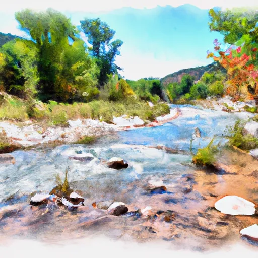
The ideal streamflow range for this run is between 500-1000 cfs, with peak flows occurring in May and June. The class rating for this section of the river is Class III-IV, with some Class V rapids during high water.
The segment mileage for this run is approximately 6 miles, with notable rapids such as "The Narrows" and "Deadly Eddy". The Narrows is a challenging rapid with a narrow chute and large boulders, while Deadly Eddy is a swirling eddy that can trap unsuspecting paddlers.
There are specific regulations for this area, including the requirement for a permit to access the river and a limit on the number of permits issued per day. Additionally, there are restrictions on camping and fires along the river.
Regional Streamflow Levels
15-Day Long Term Forecast
River Run Details
| Last Updated | 2026-04-22 |
| River Levels | 43 cfs (2.0 ft) |
| Percent of Normal | 80% |
| Status | |
| Class Level | iii-iv |
| Elevation | ft |
| Streamflow Discharge | cfs |
| Gauge Height | ft |
| Reporting Streamgage | USGS 08254000 |

5-Day Hourly Forecast Detail
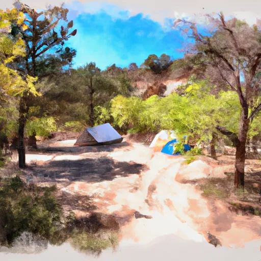
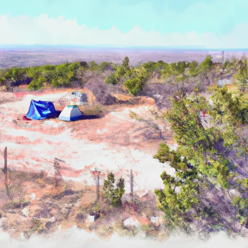
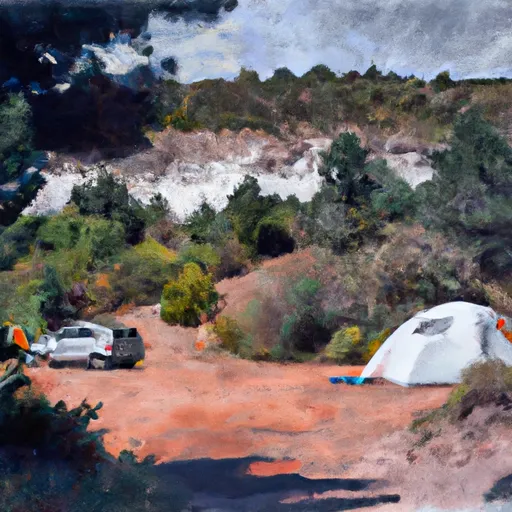
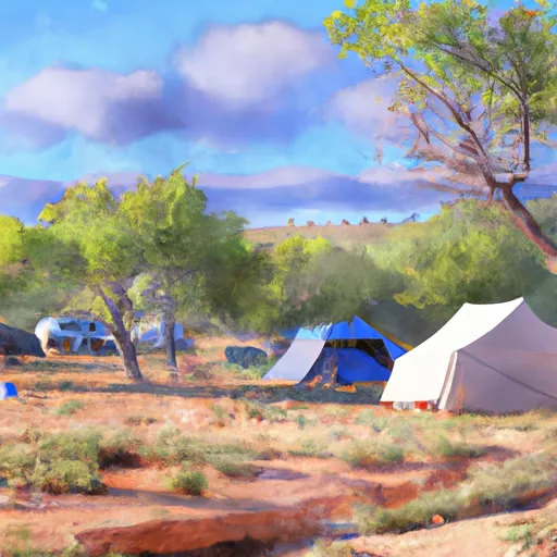
Area Campgrounds
| Location | Reservations | Toilets |
|---|---|---|
 Little Costilla Low Impact Camp
|
||
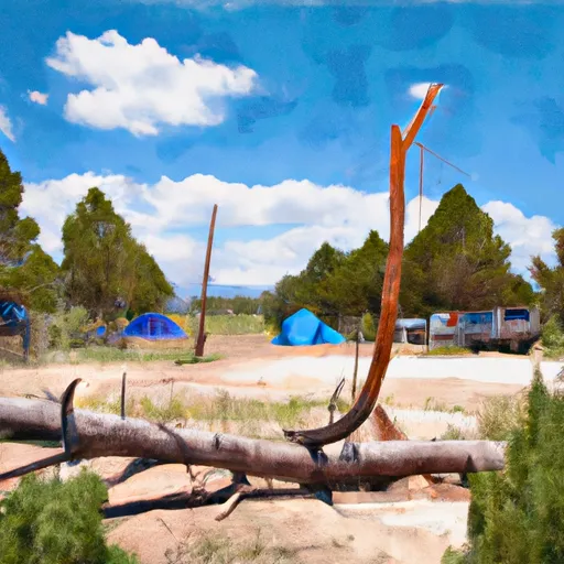 Cimarron Campground
|
||
 NFS Cimarron Campground
|
||
 Ash Mountain Camp
|
||
 Middle Ponil Camp
|
||
 Little Costilla Camp
|
 Headwaters To Comanche Creek