Summary
The ideal streamflow range for this section of the river is between 800-1,200 cubic feet per second (cfs) and the class rating is between III-IV. The segment mileage for the Rio Grande is approximately 17 miles, running from Pilar to the Taos Junction Bridge.
The river rapids and obstacles on this section of the Rio Grande include the Rock Garden, Power Line, and the infamous Souse Hole. The Rock Garden is a series of boulders that create a technical section of rapids, while the Power Line is a steep drop with large waves. The Souse Hole is a powerful hydraulic that requires skillful navigation.
There are specific regulations for this area, including a permit requirement for commercial outfitters and a limit of 25 people per trip. Additionally, life jackets and helmets are required for all participants and camping is only allowed in designated areas.
°F
°F
mph
Wind
%
Humidity
15-Day Weather Outlook
River Run Details
| Last Updated | 2025-06-28 |
| River Levels | 315 cfs (10.54 ft) |
| Percent of Normal | 144% |
| Status | |
| Class Level | None |
| Elevation | ft |
| Streamflow Discharge | cfs |
| Gauge Height | ft |
| Reporting Streamgage | USGS 08279000 |
5-Day Hourly Forecast Detail
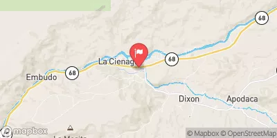
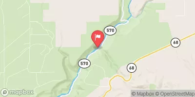
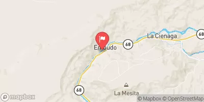
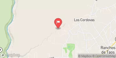
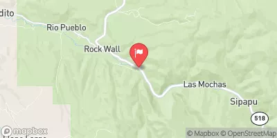
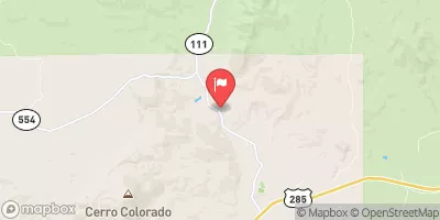
Nearby Streamflow Levels
Area Campgrounds
| Location | Reservations | Toilets |
|---|---|---|
 Pilar Campground
|
||
 Pilar
Pilar
|
||
 Rio Bravo Campground
|
||
 Rio Bravo
|
||
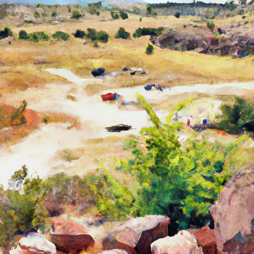 Orilla Verde Rec Area
|
||
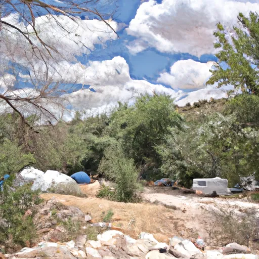 Arroyo Hondo Campground
|


 County Line Boat Launch
 County Line Boat Takeout
 De Norte Bridge Las Cruces New Mexico Access Point
 Quartzite Boat Takeout
 Quartzite Boat Launch
 Rio Bravo Boat Takeout
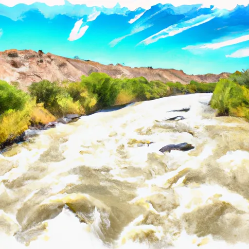 Rio Grande
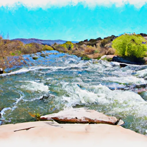 Rio Embudo
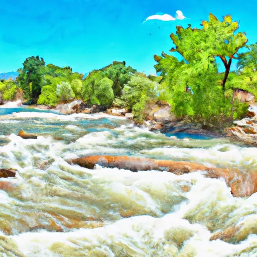 Trampas
 Pilar/Race Course