Summary
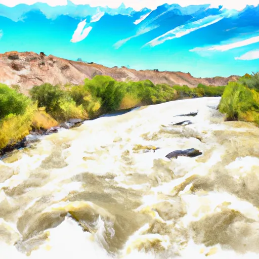
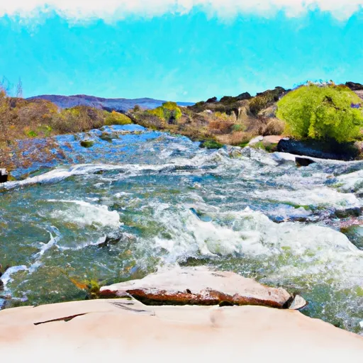
The boat ramp services the Rio Grande River, which is a popular spot for boating, fishing, and other water activities in the area.
The County Line Boat Launch is open year-round and is free to use. It is designed to accommodate a variety of watercraft, including boats, canoes, kayaks, and other small craft. However, there are some restrictions on the use of motorized boats in certain parts of the river, so it is important to check local regulations before heading out on the water.
Overall, the County Line Boat Launch is a well-maintained and easily accessible boat ramp that provides a convenient entry point for boaters and other water enthusiasts in the New Mexico area. Its location on the Rio Grande River also offers plenty of opportunities for fishing, wildlife viewing, and other outdoor activities.
°F
°F
mph
Wind
%
Humidity

 County Line Boat Launch
 County Line Boat Takeout
 De Norte Bridge Las Cruces New Mexico Access Point
 Quartzite Boat Takeout
 Quartzite Boat Launch
 Rio Bravo Boat Takeout
 Rio Grande
 Rio Embudo