Summary
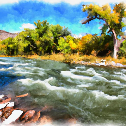
The river is rated as a class III-IV, making it suitable for intermediate to advanced paddlers. The segment mileage of the river run is approximately 8 miles, with rapids and obstacles including the Boxcar, Double Drop, and S-Turn.
The Boxcar is a class III rapid that features a tight turn and a large boulder in the middle of the river. Double Drop is a class IV rapid that consists of two drops, the first being a steep, technical chute followed by a large wave train. S-Turn is a class III rapid that requires paddlers to navigate through a tight S-shaped channel.
Regulations specific to the Rio Bonito area include a permit requirement for commercial outfitters and a prohibition on alcohol use while on the river. Additionally, all paddlers are required to wear a personal flotation device and helmets. It is also important to note that the river can be subject to sudden changes in water flow due to rain or snowmelt, so paddlers should always be aware of current conditions.
Overall, the Rio Bonito offers a challenging and exciting whitewater experience for experienced paddlers. It is important for paddlers to be aware of the specific regulations and recommended streamflow range before embarking on the river run.
°F
°F
mph
Wind
%
Humidity
15-Day Weather Outlook
River Run Details
| Last Updated | 2025-06-28 |
| River Levels | 1 cfs (6.08 ft) |
| Percent of Normal | 4% |
| Status | |
| Class Level | iii-iv |
| Elevation | ft |
| Streamflow Discharge | cfs |
| Gauge Height | ft |
| Reporting Streamgage | USGS 08387600 |
5-Day Hourly Forecast Detail
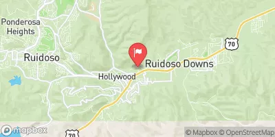
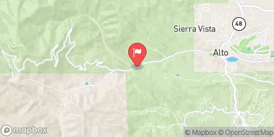
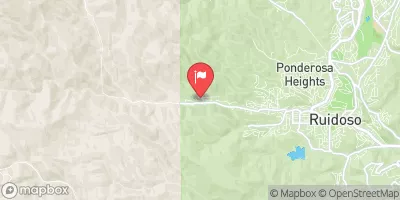
Nearby Streamflow Levels
Area Campgrounds
| Location | Reservations | Toilets |
|---|---|---|
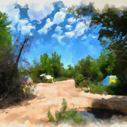 Baca Campground
|
||
 Cave Campground
|
||
 Jagger's Campground
|


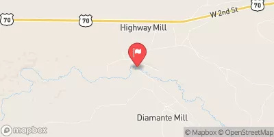
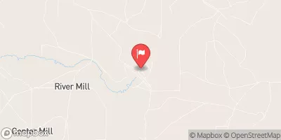
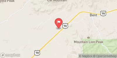
 Rio Bonito
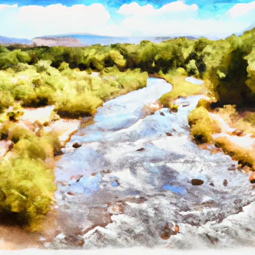 Headwaters (Sec 27, T8S, R17E) To Confluence Of Streams In Sec 34, T8S, R17E
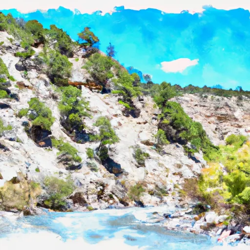 Headwaters (Hale Canyon) To Nf Boundary
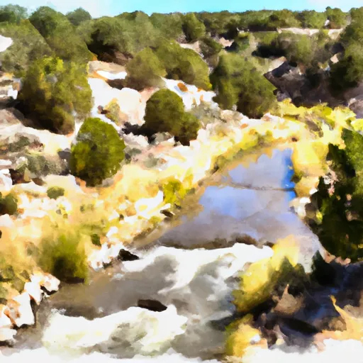 Headwaters To Eastern Boundary Private Land