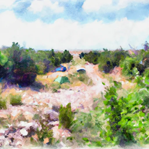
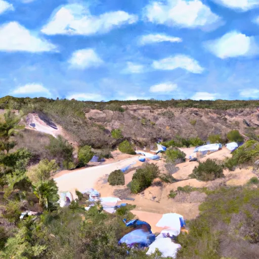
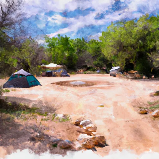
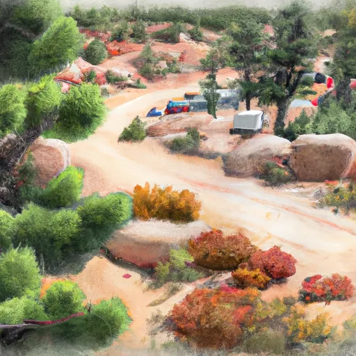
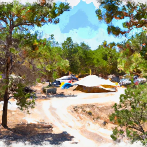
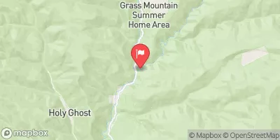
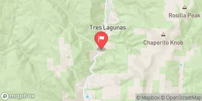
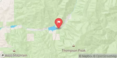
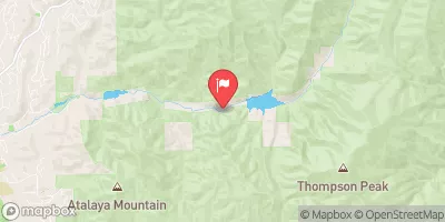
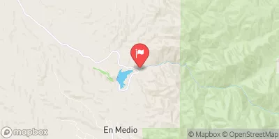
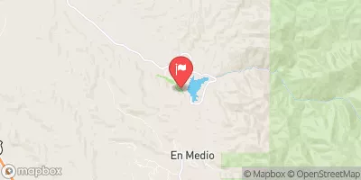
COWLES PONDS

Species Weather Hydrology


Weather Outlook


16 Day Long Term Forecast

Seasonal Comparison


Historical Data


Area Boat Ramps

QUARTZITE BOAT TAKEOUT
Upper Rio Grande Watershed, New-Mexico
QUARTZITE BOAT LAUNCH
Upper Rio Grande Watershed, New-Mexico
RIO BRAVO BOAT TAKEOUT
Upper Rio Grande Watershed, New-Mexico
TAOS JUNCTION BRIDGE TAOS COUNTY
Upper Rio Grande Watershed, New-Mexico
LONE JUNIPER BOAT LAUNCH
Upper Rio Grande Watershed, New-Mexico
NM 570 TAOS COUNTY
Upper Rio Grande Watershed, New-Mexico
COUNTY LINE BOAT LAUNCH
Upper Rio Grande Watershed, New-Mexico
COUNTY LINE BOAT TAKEOUT
Upper Rio Grande Watershed, New-Mexico
LONE JUNIPER BOAT TAKEOUT
Upper Rio Grande Watershed, New-Mexico
DE NORTE BRIDGE LAS CRUCES NEW MEXICO ACCESS POINT
Upper Rio Grande Watershed, New-Mexico

Rafting & Kayaking

GRAPE CREEK SEGMENT 2
Arkansas Headwaters Watershed, Colorado
GRAPE CREEK SEGMENT 1
Arkansas Headwaters Watershed, Colorado
CONFLUENCE OF NORTH, MIDDLE AND SOUTH FORKS (SEC 4, T43N, R3E) TO NF BOUNDARY (SEC 17, T44N, R4E)
Saguache Watershed, Colorado
HEADWATERS NF RIO RUIDOSO TO NF BOUNDARY
Rio Hondo Watershed, New-Mexico
EASTERN BOUNDARY OF PARK TO WESTERN PARK BOUNDARY
San Luis Watershed, Colorado
GRAPE CREEK SEGMENT 3
Arkansas Headwaters Watershed, Colorado
HEADWATERS OF THREE RIVERS, INCLUDING 5 SEGMENTS BRANCHING SOUTH AND EAST TO WESTERN NF BOUNDARY AT THREE RIVERS CAMPGROUND
Tularosa Valley Watershed, New-Mexico
FALLS GULCH
Arkansas Headwaters Watershed, Colorado
HEADWATERS AT MEDANO LAKE TO ENDS ON THE SAND SHEET PAST THE SOUTHERN END OF THE DUNES
San Luis Watershed, Colorado
HEADWATERS TO THE MOUNTAIN FRONT
San Luis Watershed, Colorado

Parks & Recreation


Alamosa National Wildlife Refuge

Vietnam Veterans' Memorial State Park

Wilderness Latir Peak

Wilderness Spanish Peaks

Wilderness Area Columbine Hondo

Morphy Lake State Park

San Isabel National Forest

Wilderness Cruces Basin

Cimarron Canyon State Park

Wilderness Wheeler Peak


WHITE ROCK COUNTY VISITOR CENTER
The White Rock County Visitor Center is a must-see attraction for visitors to New Mexico’s National Park. Located in Los Alamos, the Center offers stunning views of the Sangre de ...
HISTORICAL MARKER
The Historical Marker in the Upper Rio Grande watershed of New Mexico is located in the Carson National Forest and commemorates the Spanish colonization of the area in the 16th ...
VISTA GRANDE OVERLOOK OBSERVATION SITE
TSANKAWI PUEBLO
Tsankawi Pueblo is a unique and historically significant point of interest located in New Mexico's Bandelier National Monument. This site was once home to the ancestral Puebloan people, and visitors ...
DUCHESS CASTLE
Duchess Castle is a popular point of interest located in Guadalupe Mountains National Park, New Mexico. Built in the 1920s, the castle-like structure was once owned by a wealthy family ...
GAUGING STATION INTERPRETIVE SIGN
The Gauging Station Interpretive Sign is located in the Upper Rio Grande watershed of New Mexico and serves as an educational tool for visitors wishing to learn about the watershed's ...

Log Your Visit

When was your last visit to Cowles Ponds?

Add a Photo

How was it? How were conditions?

Rate the backcountry skiing


Submit

Leave A Review

Cowles Ponds

Submit

Upload an Image

Cowles Ponds

Favorite Limit Reached