

2026-04-23T20:00:00-06:00
...CRITICAL FIRE WEATHER CONDITIONS TODAY FOR SOUTHWEST AND SOUTH CENTRAL NEW MEXICO... A passing Pacific trough will keep the region dry and will increase winds this afternoon. These warm, dry, and windy conditions will further trend fuels drier, and will set the stage for critical fire weather conditions across the southern New Mexico fire zones. West winds of 20 to 25 mph with gusts to 35 to 40 mph are expected during the afternoon. Minimum relative humidity values of 7 to 15 percent are forecast. Widespread tree mortality and die back fuels will increase the wildfire risk as ERCs climb towards the 90th percentile. * AFFECTED AREA...New Mexico Fire Weather Zones 110, 111, 112, and 113, including the Southwest Mountains and Gila NF, the Southwest Deserts and Lowlands, the South Central Lowlands, the Southern Rio Grande Valley, and the Sacramento and Capitan Mountains. * TIMING...Winds increasing after 10 AM, and peaking in the middle to late afternoon hours. * WINDS...West 15 to 25 mph with gusts up to 40 mph. * RELATIVE HUMIDITY...7 to 12 percent. * EXPERIMENTAL RFTI...3 to 5, Near Critical to Critical. * IMPACTS...any fires that develop will likely spread rapidly. Outdoor burning is not recommended.
Summary
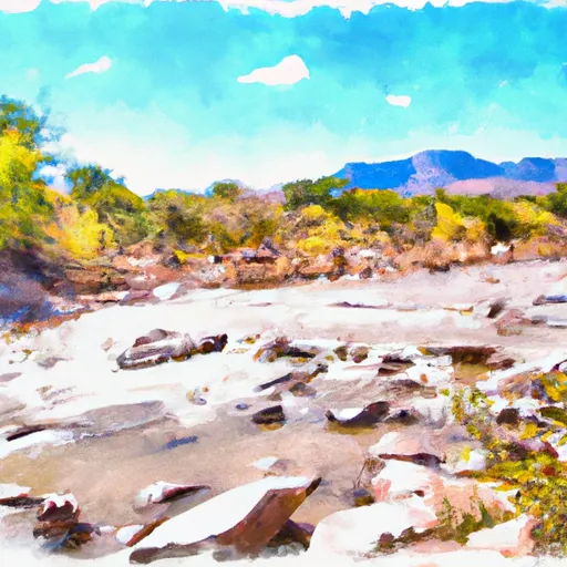
The ideal streamflow range for the Gila River run is between 500-1000 cubic feet per second (cfs). The river is rated as a Class II-III run, with some Class IV sections during high water. The segment mileage varies depending on which section of the Gila River is being run, but typically ranges from 5-15 miles.
The Gila River run features a variety of rapids and obstacles, including the "Esses" section, which is a continuous series of Class III rapids that offer an exciting and challenging ride. Other notable rapids include "Big Horn", "The Chute", and "Squeeze Play". There are also several waterfalls and narrow canyons that add to the excitement of the run.
In terms of regulations, the Gila River run is located within the Gila National Forest and is subject to specific rules and regulations. Visitors must obtain a permit before camping or using the river, and there are restrictions on campfires and other activities. Additionally, visitors are required to practice Leave No Trace principles to minimize their impact on the environment.
Overall, the Gila River run is a thrilling and challenging whitewater experience that offers a variety of rapids and obstacles. With an ideal streamflow range of 500-1000 cfs, it is a popular destination for kayakers and rafters alike. However, visitors must be aware of the specific regulations for the area and practice responsible outdoor ethics to ensure the sustainability of this beautiful river.
Regional Streamflow Levels
 Gila River Below Blue Creek
|
26cfs |
 Gila River Near Redrock
|
38cfs |
 Gila River At Duncan
|
12cfs |
 Gila River Near Gila
|
25cfs |
 Gila River Near Clifton
|
22cfs |
 Mogollon Creek Near Cliff
|
3cfs |
15-Day Long Term Forecast
River Run Details
| Last Updated | 2025-06-28 |
| River Levels | 51 cfs (4.71 ft) |
| Percent of Normal | 3% |
| Status | |
| Class Level | ii-iii |
| Elevation | ft |
| Streamflow Discharge | cfs |
| Gauge Height | ft |
| Reporting Streamgage | USGS 09432000 |

 Gila
Gila