Summary
The ideal streamflow range for this section of the river is between 200 and 600 cubic feet per second (cfs), although experienced boaters can handle flows up to 1,500 cfs. The class rating for this section is typically a class III, but can reach class IV during high water events. The segment mileage from the State Line to the Mouth of the River is approximately 14 miles.
There are several notable rapids and obstacles on this section of the river, including "Razorback," "The Wall," "The Rock," and "The Narrows." These rapids offer technical challenges and exciting drops that make for an unforgettable adventure. However, boaters should be aware of potential hazards such as strainers and underwater rocks.
To ensure safety and protect the natural environment, there are specific regulations in place for the Whitewater River Run. Boaters should be aware of the no-wake zones near the State Line and the Mouth of the River, as well as the requirement for personal flotation devices. Additionally, boaters should respect the private property along the river and pack out all trash.
Overall, the Whitewater River Run in Oklahoma offers a thrilling adventure for experienced boaters. It is important to always be aware of the current water conditions and adhere to all regulations to ensure a safe and enjoyable experience.
°F
°F
mph
Wind
%
Humidity
15-Day Weather Outlook
River Run Details
| Last Updated | 2026-02-07 |
| River Levels | 35 cfs (4.84 ft) |
| Percent of Normal | 24% |
| Status | |
| Class Level | iii-iv |
| Elevation | ft |
| Run Length | 14.0 Mi |
| Streamflow Discharge | cfs |
| Gauge Height | ft |
| Reporting Streamgage | USGS 07195855 |




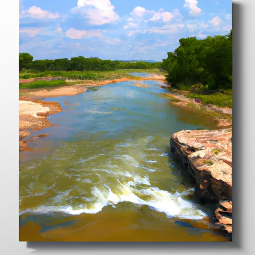 The State Line To The Mouth Of The River
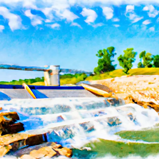 Lake Frances Spillway
To Pine Bluff
 Lake Flint Creek
 SWEPCO
 Spavinaw Creek