Summary
The ideal streamflow range for this section of the river is between 400 and 1000 cfs. The river is classified as Class II to III, meaning it has moderate rapids with some obstacles that require maneuvering. The segment is approximately 13 miles long, starting at Sec 30, T21S, R8E and ending at Wickiup Reservoir. Along the way, paddlers will encounter several notable rapids, including the "Toilet Bowl" and "Rock and Roll."
There are some specific regulations to be aware of when paddling the Whitewater River Run. The river is located on the Deschutes National Forest, and visitors are required to obtain a Northwest Forest Pass or pay a day-use fee. Additionally, boaters are required to have a permit from the Forest Service to run the river. There are also restrictions on camping and fires, so visitors should check with the Forest Service for up-to-date information on regulations.
°F
°F
mph
Wind
%
Humidity
15-Day Weather Outlook
River Run Details
| Last Updated | 2026-02-07 |
| River Levels | 89 cfs (1.54 ft) |
| Percent of Normal | 100% |
| Status | |
| Class Level | ii |
| Elevation | ft |
| Streamflow Discharge | cfs |
| Gauge Height | ft |
| Reporting Streamgage | USGS 14313200 |
5-Day Hourly Forecast Detail
Nearby Streamflow Levels
Area Campgrounds
| Location | Reservations | Toilets |
|---|---|---|
 Browns Creek Campground
|
||
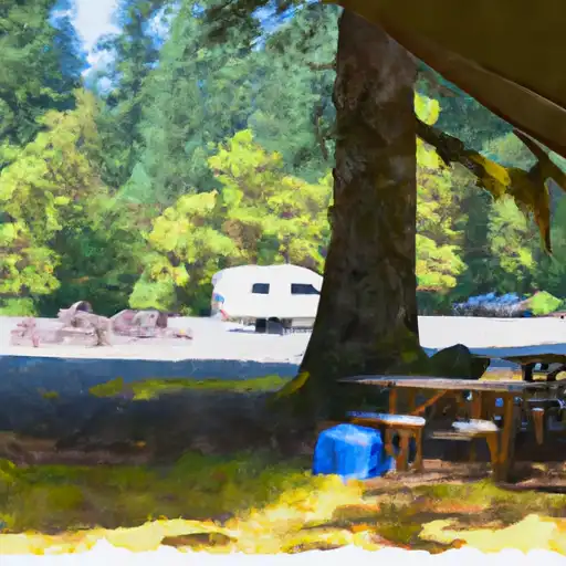 Sheep Bridge
|
||
 West South Twin Campground
|
||
 South Twin Lake
|
||
 South Twin Lake Campground
|
||
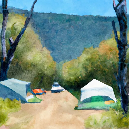 Sheep Bridge Campground
|


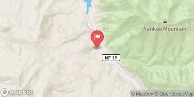
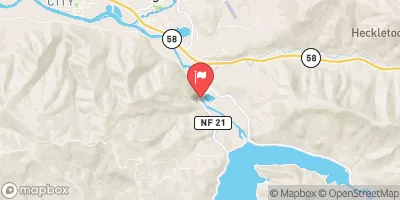
 West South Twin Boating Site
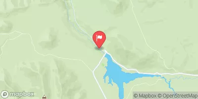
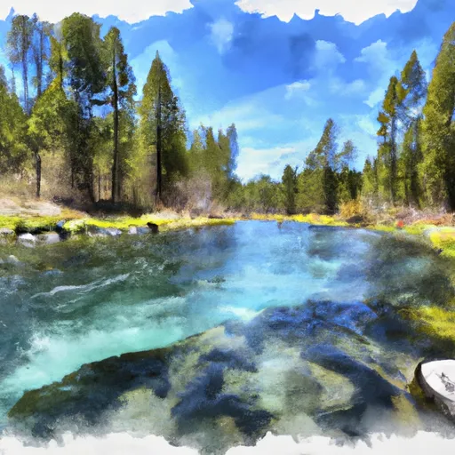 Springs Sec 30, T21S, R8E To Wickiup Reservoir
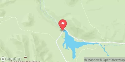
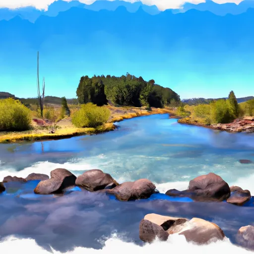 Little Lava Lake To Crane Prairie Reservoir
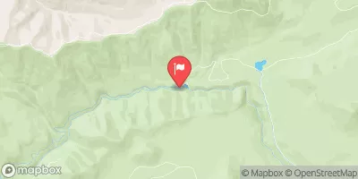
 Wickiup Dam to Pringle Falls Campground
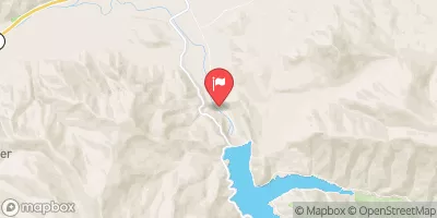
 Pringle Falls to Big River Campground