Summary
The ideal streamflow range for this run is between 600-800 cfs, which ensures that the water is not too high or too low. The class rating for this run is class II-III, which means that there are some moderate rapids and obstacles to navigate.
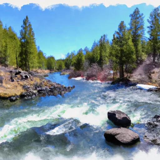
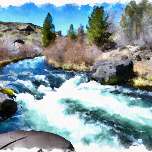
The segment mileage for this run is approximately 11 miles, starting at the Deschutes National Forest boundary and ending at Paulina Lake. The river flows through a scenic canyon with beautiful rock formations and lush forests. There are several notable rapids and obstacles on this run, such as the "Pinball Rapid" and the "Spillway Rapid."
There are specific regulations that must be followed when using this section of the river, including the use of personal floatation devices and respecting any closures or restrictions in the area. It is also important to be aware of any potential hazards on the river, such as downed trees or other obstacles.
°F
°F
mph
Wind
%
Humidity
15-Day Weather Outlook
River Run Details
| Last Updated | 2026-02-07 |
| River Levels | 195 cfs (1.91 ft) |
| Percent of Normal | 53% |
| Status | |
| Class Level | ii-iii |
| Elevation | ft |
| Streamflow Discharge | cfs |
| Gauge Height | ft |
| Reporting Streamgage | USGS 14087380 |
5-Day Hourly Forecast Detail
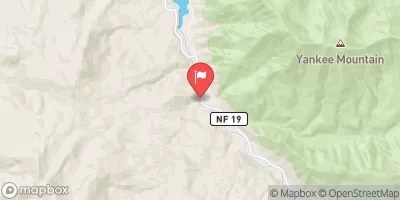
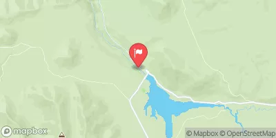
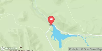
Nearby Streamflow Levels
Area Campgrounds
| Location | Reservations | Toilets |
|---|---|---|
 Prairie
|
||
 Prairie Campground
|
||
 Ogden Group Campground
|
||
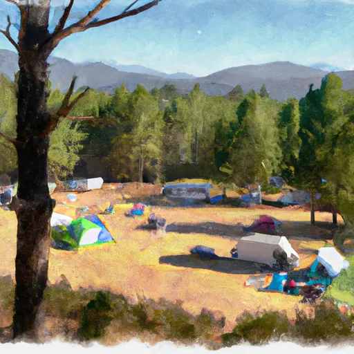 Ogden Group Camp
|
||
 McKay Crossing Campground
|
||
 Mckay Crossing
|


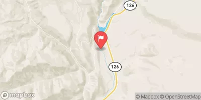
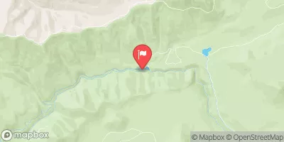
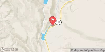
 Mid-Drift - Little Deschutes
 Deschutes Nf Boundary To Paulina Lake
 Roseland Park to Deschutes River
 Source To Confluence With Deschutes River
 Big River to Benham Falls
 Pringle Falls to Big River Campground