Summary
The ideal streamflow range for this run is between 2,000 and 6,000 cfs, with the peak runoff occurring in late spring to early summer. The class rating for this run is III-IV, which means it has moderate to difficult rapids, with potential hazards and obstacles that require experienced paddlers to navigate.
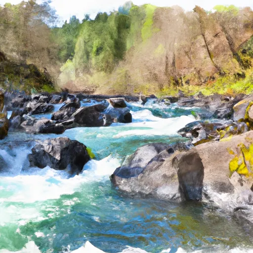
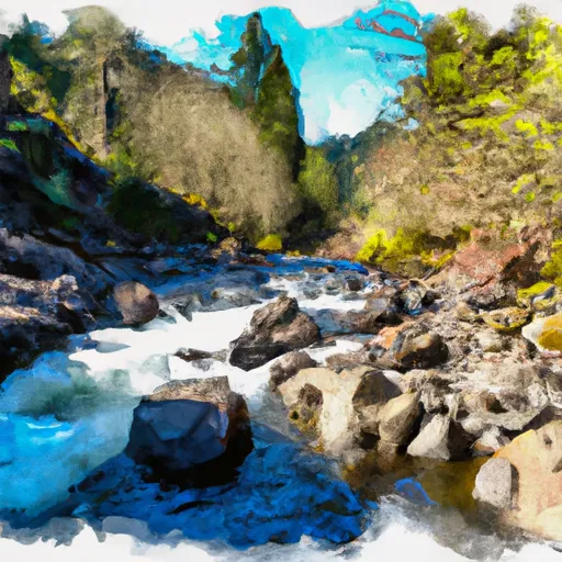
The segment mileage for this run is approximately 8 miles, with specific river rapids and obstacles, including Devil's Toenail, Boulder Garden, and Little Falls. Devil's Toenail is a class III rapid that requires careful navigation through boulders and a large rock formation. Boulder Garden is another class III rapid that requires precise maneuvering through a narrow channel filled with rocks and boulders. Little Falls is a class IV rapid that features a steep drop and a large boulder that requires skilled paddling to avoid.
There are specific regulations to the area that should be followed by all visitors. The use of personal flotation devices is mandatory, and all participants must wear helmets during the run. Additionally, all participants must have prior experience with whitewater rafting and be in good physical condition. The use of alcohol or drugs is strictly prohibited during the run.
In conclusion, the Whitewater River run Confluence Of Siwash Creek To Little Falls is an adventure-packed rafting experience that requires skill, experience, and adherence to regulations. With a great streamflow range, challenging rapids, and stunning scenery, it's no wonder this run is a favorite among experienced rafters.
°F
°F
mph
Wind
%
Humidity
15-Day Weather Outlook
River Run Details
| Last Updated | 2026-02-07 |
| River Levels | 116 cfs (0.64 ft) |
| Percent of Normal | 14% |
| Status | |
| Class Level | iii-iv |
| Elevation | ft |
| Streamflow Discharge | cfs |
| Gauge Height | ft |
| Reporting Streamgage | USGS 14316700 |
5-Day Hourly Forecast Detail
Nearby Streamflow Levels
Area Campgrounds
| Location | Reservations | Toilets |
|---|---|---|
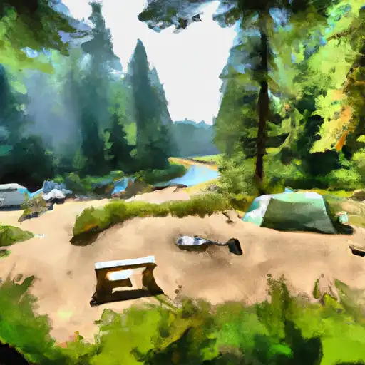 Canton Creek
|
||
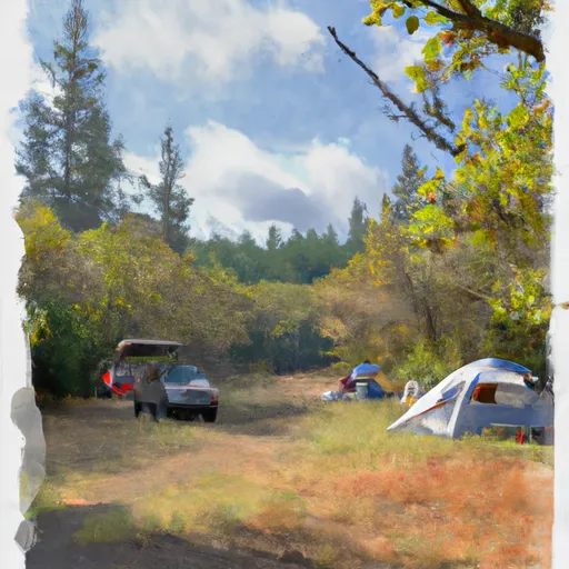 Canton Creek Campground
|
||
 Island
|
||
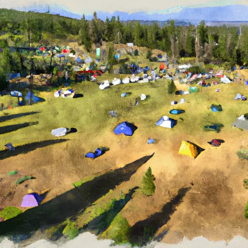 Steamboat Ball Field and Pavillion Group Site
|
||
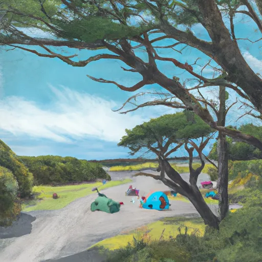 Island Campground
|
||
 Steamboat Inn
|


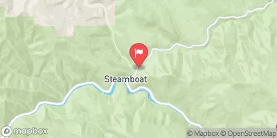
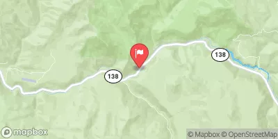
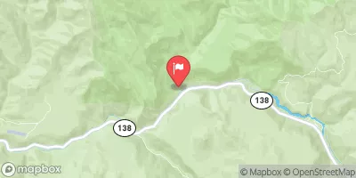
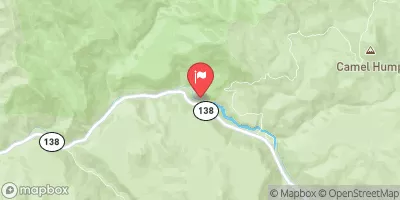
 Gravel Bin Take Out
 Confluence Of Siwash Creek To Little Falls
 Little Falls To Confluence With North Umpqua River
 Headwaters Of East Fork Steamboat Creek To Confluence With Siwash Creek
 Headwaters To Boulder Creek Wilderness Boundary