None
ESFMFR A warm sourced atmospheric river, commonly referred to as a Pineapple Express, will likely bring periods of moderate to heavy rainfall Monday afternoon through Tuesday. Current rainfall forecasts show widespread amounts of 2 to 4 inches along the coast with locally up to 6 inches in the favored coast ranges of Curry County. Up to an inch of rain is expected for many of the inland West Side valleys, with 1 to 3 inches along the Cascades and mountains and south slopes of Siskiyou County, and between a quarter of an inch and an inch across the East Side. Compounding the hydrological concerns, the warm rain is expected with snow levels well above 7000 feet, which will result in snowmelt and therefore higher than expected runoff in area watersheds. Small streams and creeks are likely to rise rapidly during this event with nuisance flooding and ponding of water on roadways during periods of heavy rain. Significant rises on main stem rivers and flashier creeks are also expected. Given that rivers are still running fairly low for this time of year, river flooding potential is a bit lower than usual, but there is at least a low probability of some flooding, especially in the Coquille Basin, and along the more flashier streams such as Deer Creek in Roseburg and Little Butte Creek in Eagle Point. While the exact scenario for the heavy rainfall and potential flooding remains uncertain, we will continue to monitor the forecasts and update accordingly. Flood Watches may be issued by the National Weather Service if this situation worsens.
Summary
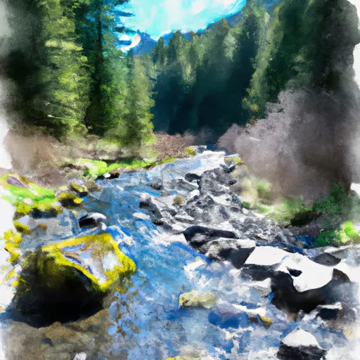
The ideal streamflow range for this stretch of the river is between 800-1500 cfs. The class rating for this run is Class III-IV, which means it has moderate to difficult rapids and requires some skill and experience to navigate.
The segment mileage from the headwaters of East Fork Steamboat Creek to the confluence with Siwash Creek is around 9 miles. Some of the specific river rapids and obstacles on this run include the S-Turn, Boulder Falls, and the Schoolhouse Rapids. These rapids require precise navigation and can be challenging for inexperienced paddlers.
It is essential to note that there are specific regulations to the area that must be followed. The use of alcohol and drugs is prohibited while on the river, and all paddlers must wear a life jacket. Additionally, all vehicles must park in designated areas, and camping is only allowed in designated campsites.
In conclusion, the whitewater river run from Headwaters Of East Fork Steamboat Creek To Confluence With Siwash Creek in Oregon is a challenging and exciting experience for experienced paddlers. It is crucial to pay attention to the ideal streamflow range, class rating, segment mileage, specific river rapids/obstacles, and specific regulations to the area to ensure a safe and enjoyable trip.
°F
°F
mph
Wind
%
Humidity
15-Day Weather Outlook
River Run Details
| Last Updated | 2026-02-07 |
| River Levels | 116 cfs (0.64 ft) |
| Percent of Normal | 14% |
| Status | |
| Class Level | iii-iv |
| Elevation | ft |
| Streamflow Discharge | cfs |
| Gauge Height | ft |
| Reporting Streamgage | USGS 14316700 |
5-Day Hourly Forecast Detail
Nearby Streamflow Levels
Area Campgrounds
| Location | Reservations | Toilets |
|---|---|---|
 Steelhead Forest Camp
|
||
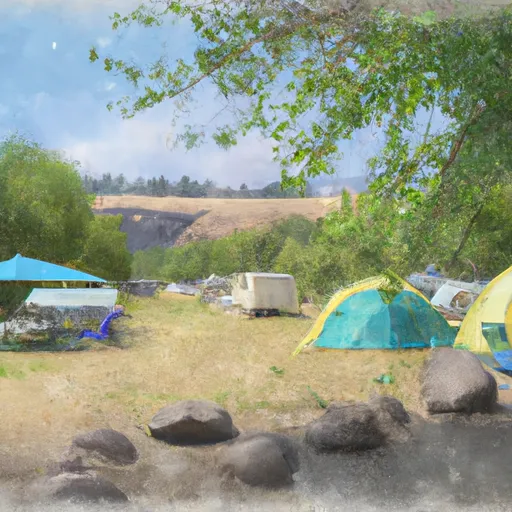 Steamboat Falls Campground
|
||
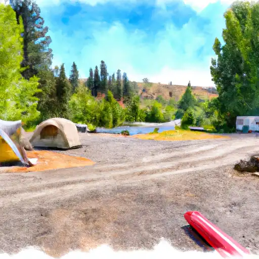 Steamboat Falls
|
||
 Steamboat Forest Camp
|
||
 Island
|
||
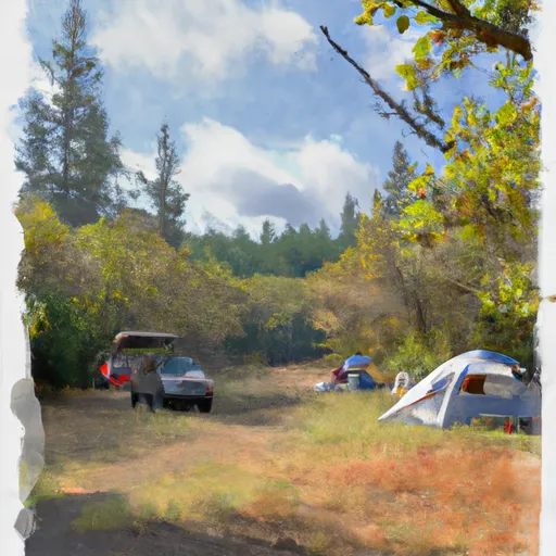 Canton Creek Campground
|


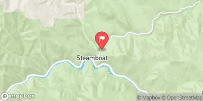
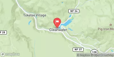
 Gravel Bin Take Out
 Headwaters Of East Fork Steamboat Creek To Confluence With Siwash Creek
 Confluence Of Siwash Creek To Little Falls
 Little Falls To Confluence With North Umpqua River
 Headwaters To Boulder Creek Wilderness Boundary