2026-02-20T04:00:00-08:00
...A SERIES OF WEAK SYSTEMS WILL BRING WIDESPREAD SNOW TO THE NORTHERN OREGON AND SOUTHERN WASHINGTON COAST AND CASCADE RANGES THROUGH AT LEAST THURSDAY NIGHT... .A broad area of low pressure will continue to bring widespread snow showers to elevations above 1500 ft through at least Thursday night. Give the showery nature of the precipitation and uncertainty as to the exact track of the Wednesday night system, there is some variability in forecast total snow fall accumulations through Thursday night. While the forecast remains on track for overall snowfall totals, where exactly the highest accumulations remain in flux. * WHAT...Snow. Additional snow accumulations of 4 to 10 inches through Wednesday night and another 2 to 4 inches of snow Thursday morning through Thursday night. * WHERE...South Washington Cascades and the Northern and Central Cascades of Oregon. * WHEN...Until 4 AM PST Friday. * IMPACTS...Roads, and especially bridges and overpasses, will likely become slick and hazardous.
West Section Line Of Sec 31, T12s, R6e To Middle Santiam Wilderness Boundary Paddle Report
Last Updated: 2026-02-07
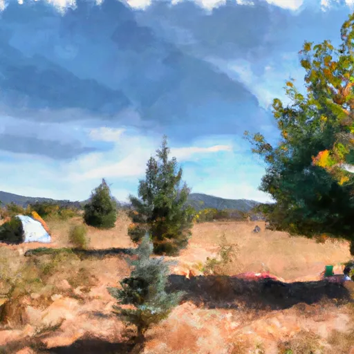
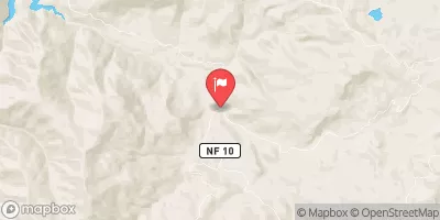
The Whitewater River run West Section Line of Sec 31, T12S, R6E to Middle Santiam Wilderness Boundary in Oregon offers a challenging and scenic adventure for experienced kayakers and rafters.
Summary
The ideal streamflow range for this section is between 800-1,500 cubic feet per second (cfs), which usually occurs during spring and early summer. The class rating for this section ranges from III to IV, meaning that it is suitable for intermediate to advanced paddlers.
The segment mileage for this section is approximately 8 miles, and it includes several rapids and obstacles such as The Gorge, a narrow and rocky section with fast-moving water, and Pinball, a series of drops and boulders that require precise maneuvering. Paddlers should also be aware of the river's sharp bends and blind corners, which can be hazardous at high flows.
Specific regulations to the area include a permit system that limits the number of daily visitors to the Middle Santiam Wilderness. Paddlers are also advised to carry out all trash and minimize their impact on the environment, as the river passes through a protected wilderness area. Overall, the Whitewater River run West Section Line Of Sec 31, T12S, R6E To Middle Santiam Wilderness Boundary offers a thrilling and challenging adventure for experienced paddlers, but caution and preparation are necessary to ensure a safe and enjoyable trip.
°F
°F
mph
Wind
%
Humidity
15-Day Weather Outlook
River Run Details
| Last Updated | 2026-02-07 |
| River Levels | 30 cfs (3.44 ft) |
| Percent of Normal | 32% |
| Status | |
| Class Level | None |
| Elevation | ft |
| Streamflow Discharge | cfs |
| Gauge Height | ft |
| Reporting Streamgage | USGS 14180300 |
5-Day Hourly Forecast Detail
Nearby Streamflow Levels
Area Campgrounds
| Location | Reservations | Toilets |
|---|---|---|
 South Pyramid Horse Camp
|
||
 Lost Prairie Group Campground
|
||
 House Rock Campground
|
||
 Big Meadows Horse Camp
|
||
 Fernview Group Camp
|
||
 Fernview
|
River Runs
-
 West Section Line Of Sec 31, T12S, R6E To Middle Santiam Wilderness Boundary
-
 Middle Santiam River
-
 Middle Santiam Wilderness Boundary To Willamette Nf Boundary
-
 Headwaters To Confluence With Unnamed Creek West Of Bruler Creek
-
 Mt. Jefferson Wilderness Boundary To Highway 22
-
 Headwaters Of Sevenmile Creek To Confluence With Latiwi Creek


