Summary
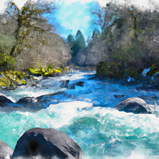
The ideal streamflow range for the South Umpqua River is between 1,000 and 5,000 cubic feet per second (cfs). The river has a class rating of III-IV, which makes it suitable for intermediate to advanced paddlers. The segment mileage for the South Umpqua River is approximately 19 miles.
The South Umpqua River has several challenging rapids and obstacles, including Steamboat, which is a class III+ rapid, and Pinball, which is a class IV rapid. Other notable rapids include Upper S-Turn, which is a class III rapid, and Lower S-Turn, which is a class IV rapid.
There are specific regulations to be aware of when planning a trip to the South Umpqua River. Rafters are required to obtain a permit from the Bureau of Land Management (BLM) before launching. Additionally, there are restrictions on the number of people and boats allowed on the river at any given time.
Overall, the South Umpqua River is a challenging and exciting destination for whitewater rafting in Oregon. With its class III-IV rapids, stunning scenery, and specific regulations, it is a must-visit for experienced paddlers.
°F
°F
mph
Wind
%
Humidity
15-Day Weather Outlook
River Run Details
| Last Updated | 2025-06-28 |
| River Levels | 121 cfs (1.42 ft) |
| Percent of Normal | 83% |
| Status | |
| Class Level | iii-iv |
| Elevation | ft |
| Streamflow Discharge | cfs |
| Gauge Height | ft |
| Reporting Streamgage | USGS 14310000 |
5-Day Hourly Forecast Detail
Nearby Streamflow Levels
 Cow Creek Near Riddle
|
836cfs |
 Cow Creek Near Azalea
|
60cfs |
 South Umpqua River Near Brockway
|
3100cfs |
 Cow Creek Abv Galesville Res
|
50cfs |
 West Fork Cow Creek Near Glendale
|
261cfs |
 South Umpqua River At Tiller
|
964cfs |
Area Campgrounds
| Location | Reservations | Toilets |
|---|---|---|
 Charles V. Stanton Park
|
||
 Millsite Municipal Park
|
||
 Chief Miwaleta
|


 Lawson Bar
 South Umpqua
 Cow Creek
 Evergreen Park
 Canyon Creek Forest State Natural Area
 North Myrtle Park