Summary
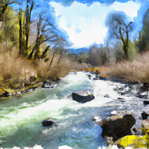
The ideal streamflow range for the Alsea River is between 800 and 2000 cubic feet per second (cfs). This provides enough water for a thrilling ride while still maintaining safety for paddlers. The river is typically rated as a Class III to Class IV, with some sections reaching Class V. The segment mileage of the Alsea River run is approximately 10 miles, starting at the Blackberry Campground and ending at the Alsea Falls Recreation Site.
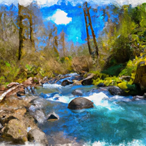
There are several specific rapids and obstacles along the Alsea River, including the notorious "Boulder Drop", a Class IV rapid with a large boulder in the middle of the river. Another challenging section is the "Washboard" rapid, which is a technical rapid that requires precise maneuvering to navigate safely.
There are specific regulations in place for the Alsea River area, including a permit system for commercial outfitters and a ban on alcohol and glass containers. Additionally, paddlers are required to wear personal flotation devices (PFDs) at all times while on the river. It is important to note that the Alsea River can be dangerous and should only be attempted by experienced paddlers with proper equipment and safety gear.
°F
°F
mph
Wind
%
Humidity
15-Day Weather Outlook
River Run Details
| Last Updated | 2025-06-28 |
| River Levels | 3 cfs (2.22 ft) |
| Percent of Normal | 32% |
| Status | |
| Class Level | iii-iv |
| Elevation | ft |
| Streamflow Discharge | cfs |
| Gauge Height | ft |
| Reporting Streamgage | USGS 14306340 |
5-Day Hourly Forecast Detail
Nearby Streamflow Levels
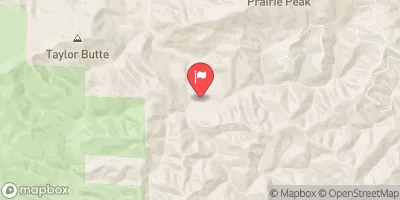 East Fork Lobster Creek Near Alsea
|
23cfs |
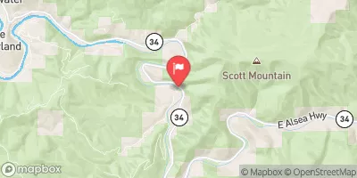 Alsea River Near Tidewater
|
1320cfs |
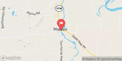 Long Tom River At Monroe
|
263cfs |
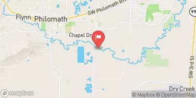 Marys River Near Philomath
|
373cfs |
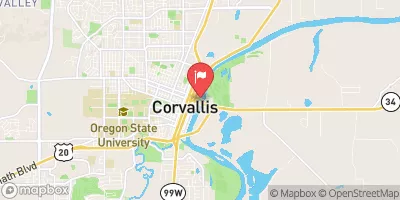 Willamette River At Corvallis
|
8070cfs |
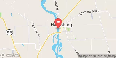 Willamette River At Harrisburg
|
6030cfs |
Area Campgrounds
| Location | Reservations | Toilets |
|---|---|---|
 Salmonberry County Park Campground
|
||
 Alsea Falls
|
||
 Alsea Falls Recreation Site
|
||
 Marys Peak Campground
|
||
 Marys Peak
|
||
 River Edge Group Campground
|


 Mill Creek Park
 Alsea River
 Fall Creek - Salem
 Lobster Creek
 Drift Creek