Summary
The ideal streamflow range for Drift Creek is between 700 and 3,000 cubic feet per second (cfs). The river is classified as a Class III run, which is suitable for intermediate to advanced paddlers. The segment mileage for Drift Creek is approximately 9 miles, and it offers a wide range of rapids and obstacles that challenge paddlers.
Some of the notable rapids and obstacles on Drift Creek include "Sewer Hole," "House Rock," "Pinball," and "The Slot." These rapids require skill and experience to navigate safely and provide a thrilling experience for paddlers. However, it is important to be aware of the potential hazards that come with the river run, such as low-hanging trees and undercut rocks.
There are also specific regulations for the Drift Creek area. The use of motorized boats is not permitted, and paddlers are required to wear personal flotation devices at all times. Additionally, paddlers should be aware of private property along the riverbanks and should not trespass or disturb landowners.
In conclusion, Drift Creek is an exciting whitewater river run in Oregon, with an ideal streamflow range between 700 and 3,000 cfs, a Class III rating, and a segment mileage of approximately 9 miles. There are various rapids and obstacles that challenge paddlers, but it is important to be aware of potential hazards and adhere to specific regulations for the area.
°F
°F
mph
Wind
%
Humidity
15-Day Weather Outlook
River Run Details
| Last Updated | 2025-06-28 |
| River Levels | 334 cfs (2.23 ft) |
| Percent of Normal | 46% |
| Status | |
| Class Level | iii |
| Elevation | ft |
| Streamflow Discharge | cfs |
| Gauge Height | ft |
| Reporting Streamgage | USGS 14306500 |
5-Day Hourly Forecast Detail
Nearby Streamflow Levels
 Alsea River Near Tidewater
|
944cfs |
 East Fork Lobster Creek Near Alsea
|
14cfs |
 Siletz River At Siletz
|
2150cfs |
 Marys River Near Philomath
|
296cfs |
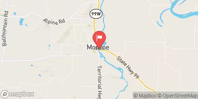 Long Tom River At Monroe
|
294cfs |
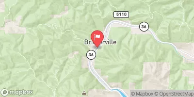 Siuslaw River Near Mapleton
|
2420cfs |
Area Campgrounds
| Location | Reservations | Toilets |
|---|---|---|
 River Edge Group Campground
|
||
 Blackberry Campground
|
||
 Blackberry
|
||
 Big Elk Campground
|
||
 Canal Creek Group Campground
|
||
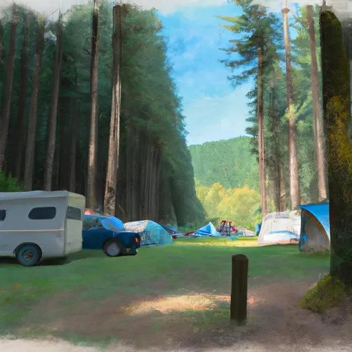 Salmonberry County Park Campground
|


 Hellion Rapids
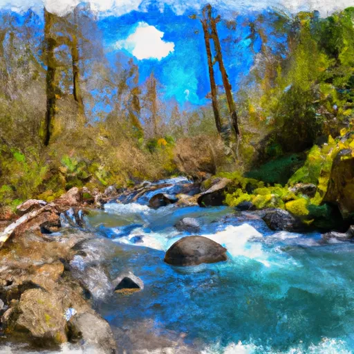 Drift Creek
 Fall Creek - Salem
 Head Of Tide To Confluence Of North And South Forks
 Alsea River
 Clemens Park
 Upper Yaquina River Preserve
 WB Nelson State Recreation Site